USER STORY
From Monument to Point Cloud: How a Historic Building Becomes a 3D Model (Part 1)
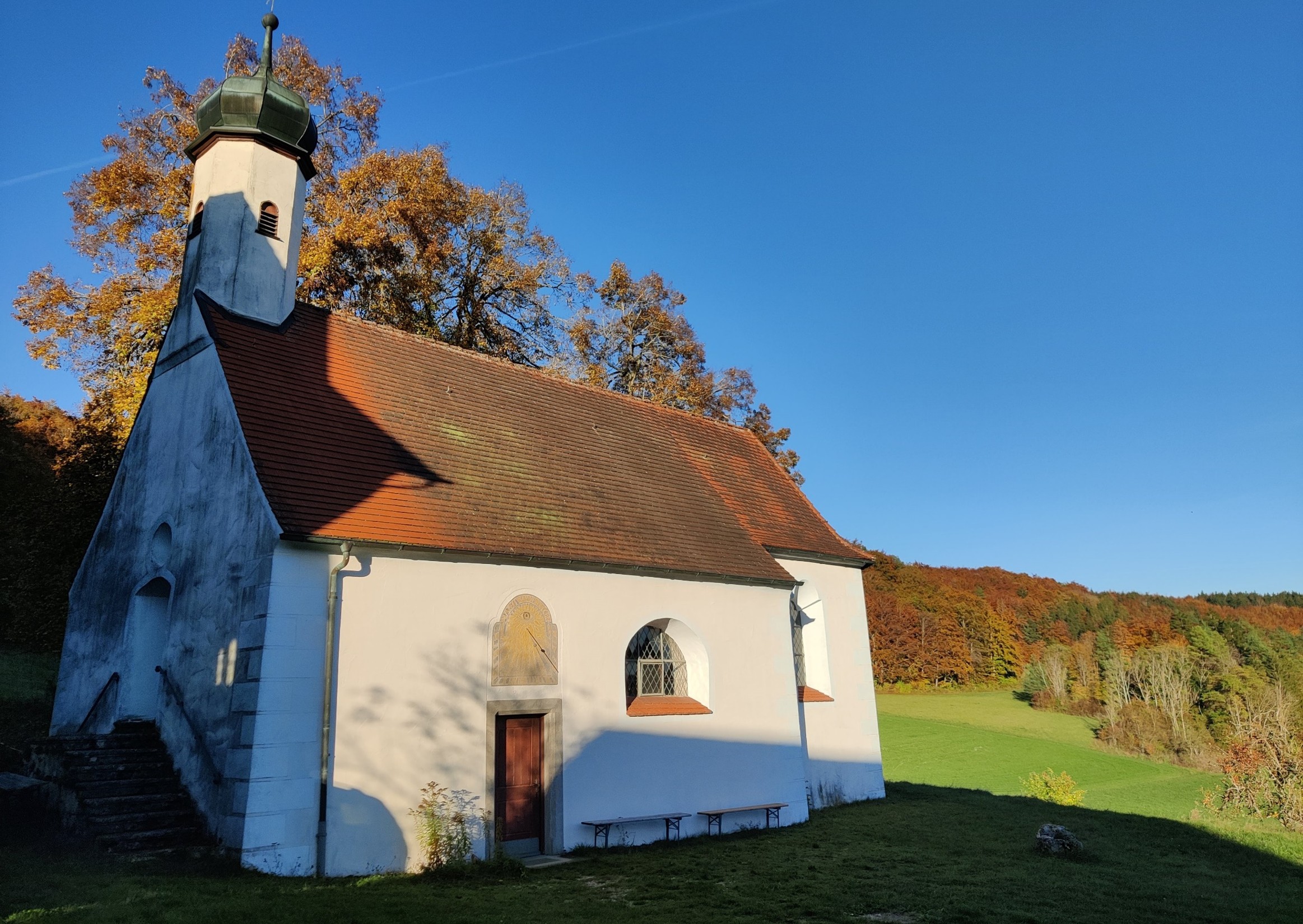
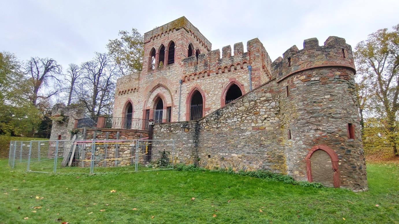
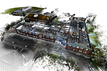
From Heritage Building to Digital Model – A Government Commission with High Standards
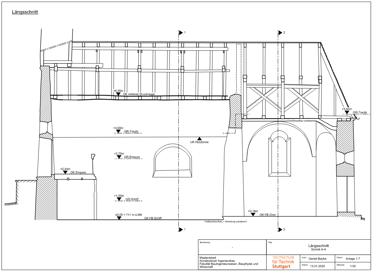
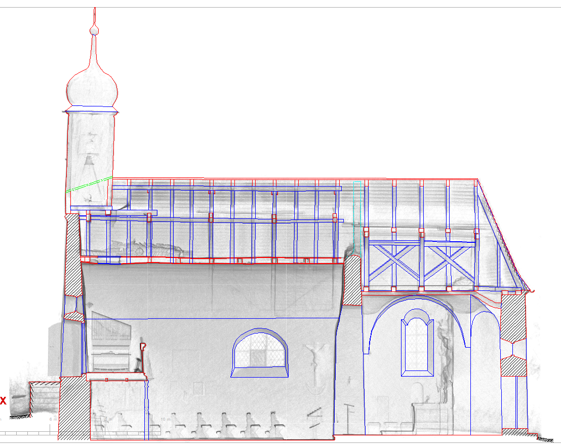
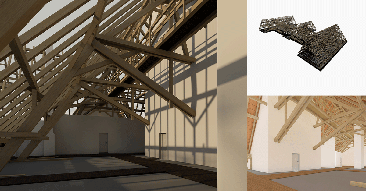
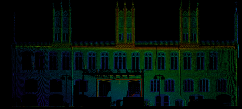
As part of a long-term digitization project, the state building authority commissioned the Janka engineering office to carry out a 3D survey of a historic courthouse. The project began with the documentation of the complex roof truss. The goal was to use the data for structural calculations as well as for the step-by-step creation of a BIM-ready building model.
Particular attention was paid to the precise capture of the existing building structure and a structured processing of the point cloud.
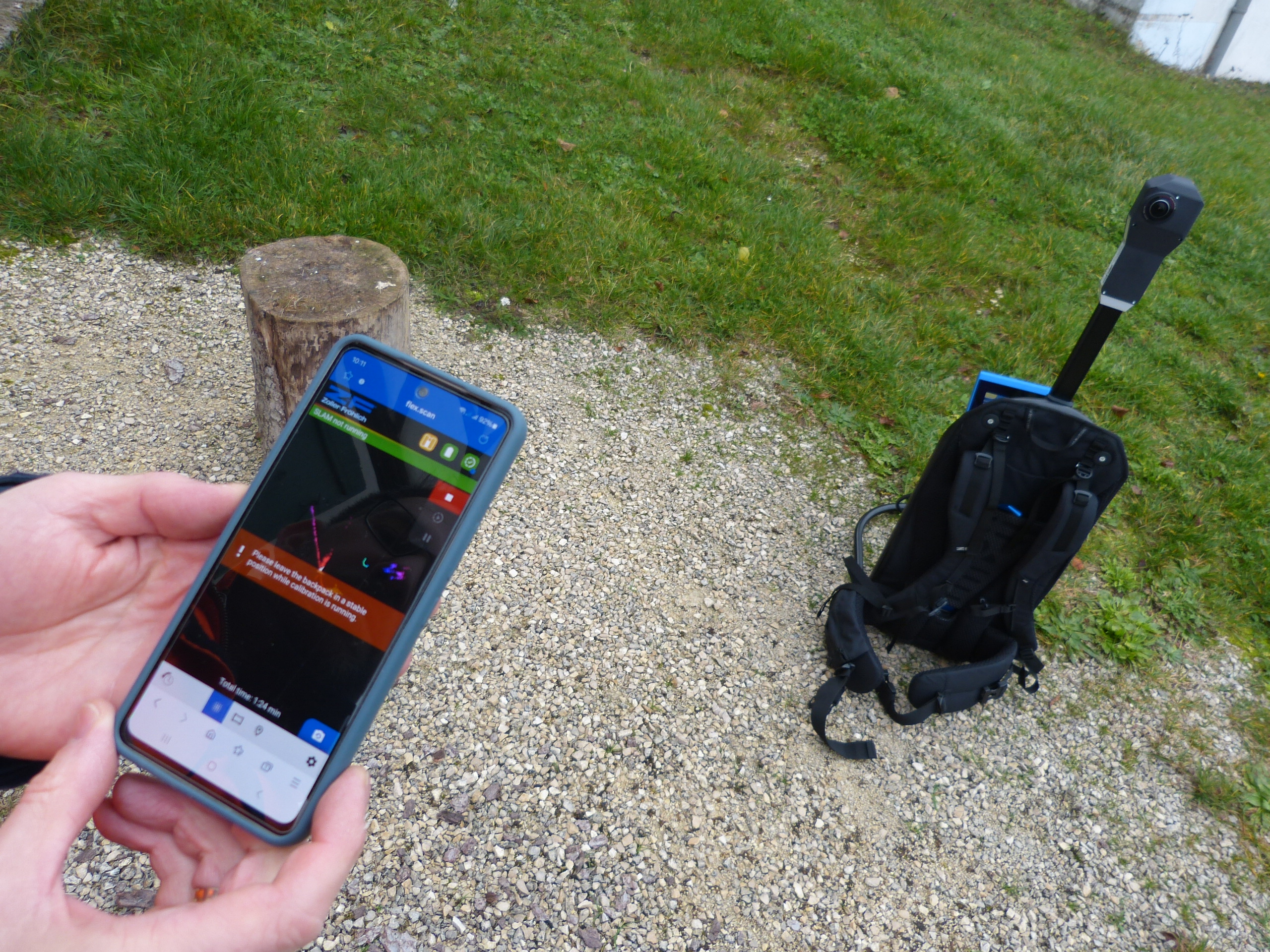
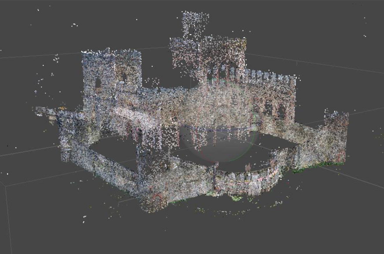
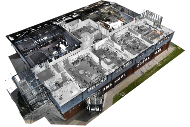
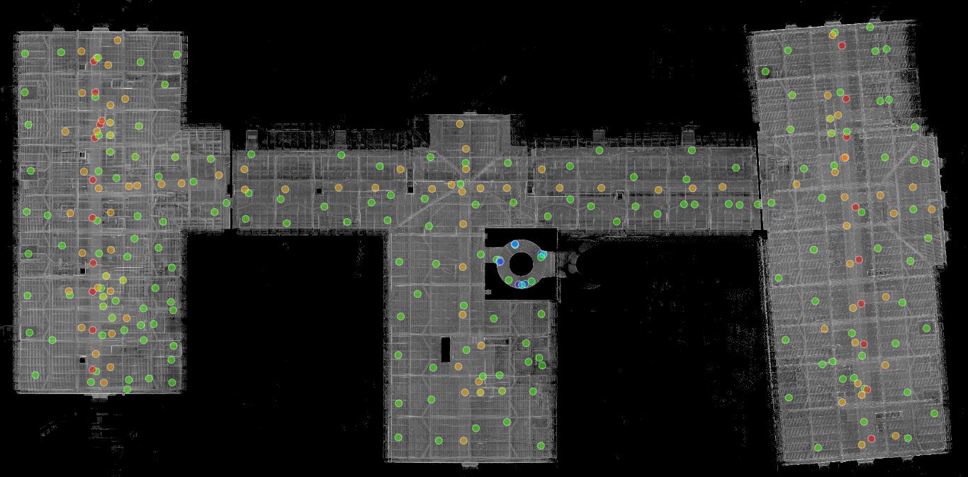
293 Scans, Three Floors, One Goal: Precision in a Heritage-Protected Roof Structure
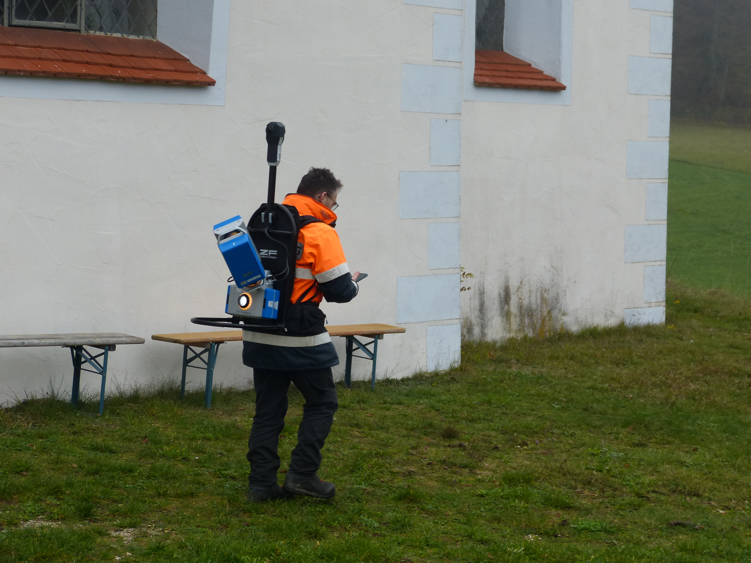
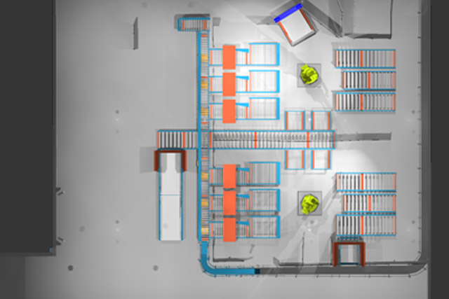
The roof truss of the courthouse—comprising three full floors and an attic—was captured using a stationary Faro Focus X 130 laser scanner. A total of 293 stations were recorded across three levels, distributed among the west, central, and east wings. The special feature: The roof truss consists of several levels with walkways, making the scan complex and time-consuming.
“This is a rather special roof truss because it’s essentially three stories high. That makes it more complicated—you just need more stations.”
The scans were carried out without pre-registration; the processing was done entirely in the office.
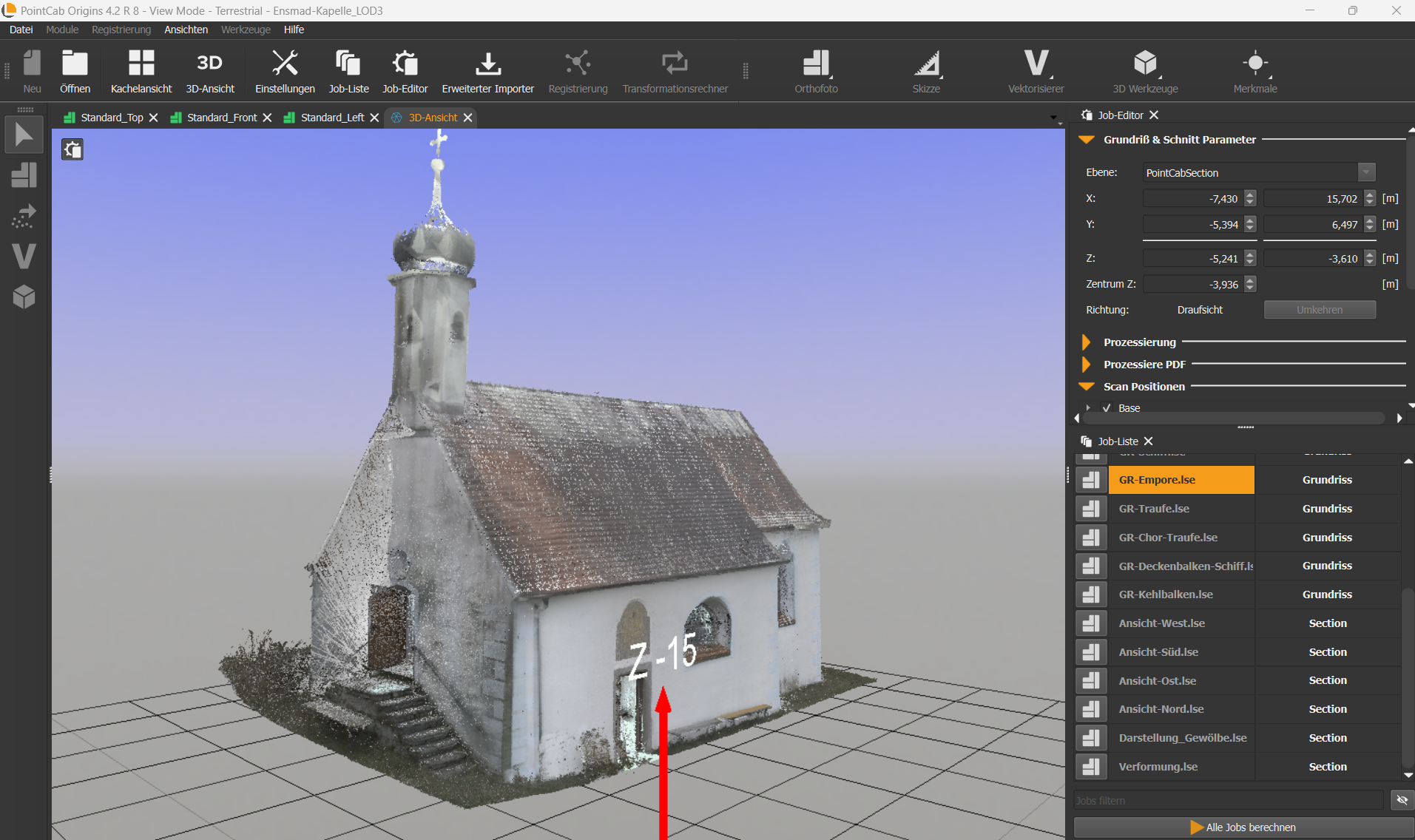
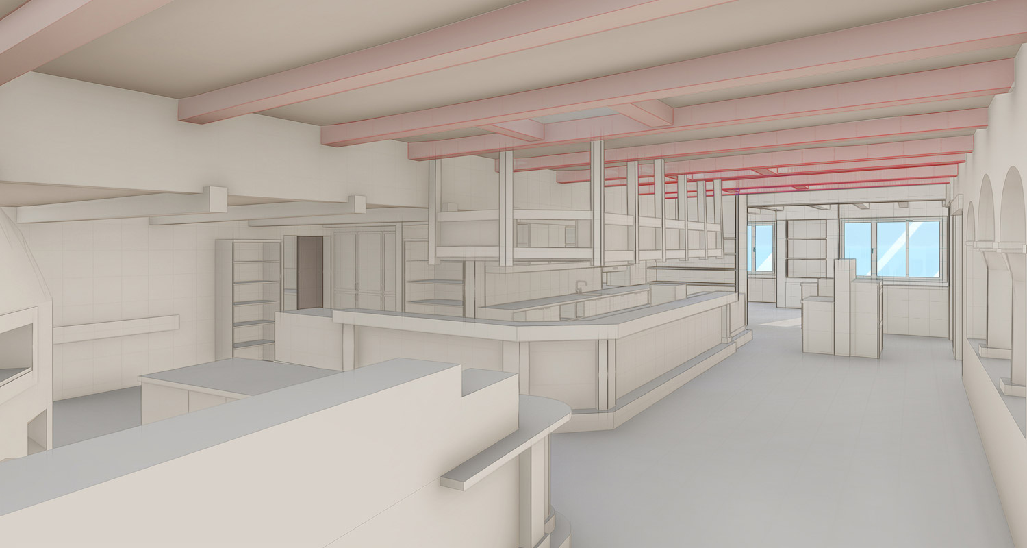
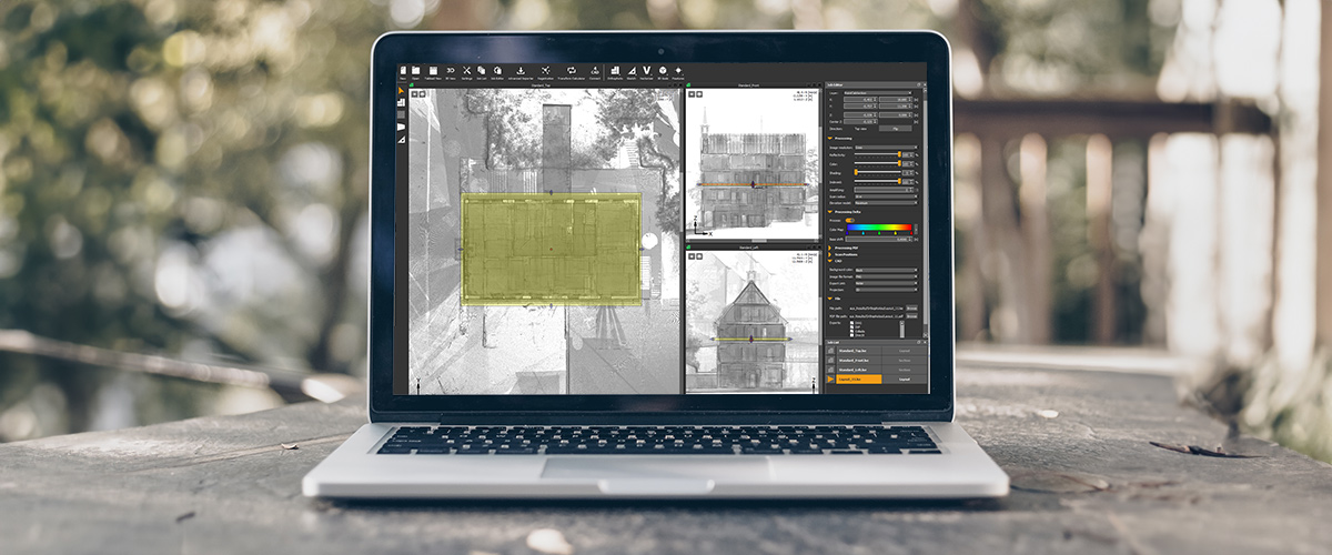
From Raw Scan to Structured Model – How Origins & Scantra Can Tame the Data Chaos
After the scans were completed, the point clouds were first imported into PointCab Origins. There, the data was initially structured into clusters—an essential step in preparing for registration. The data was then exported to Scantra for scan registration. The clusters created in Origins were automatically transferred.
“The interface between Origins and Scantra works great. We process everything, reimport it into Origins, and do the final alignment there.”
Afterward, the registered scans were loaded back into Origins, where the final coordinate system was defined.
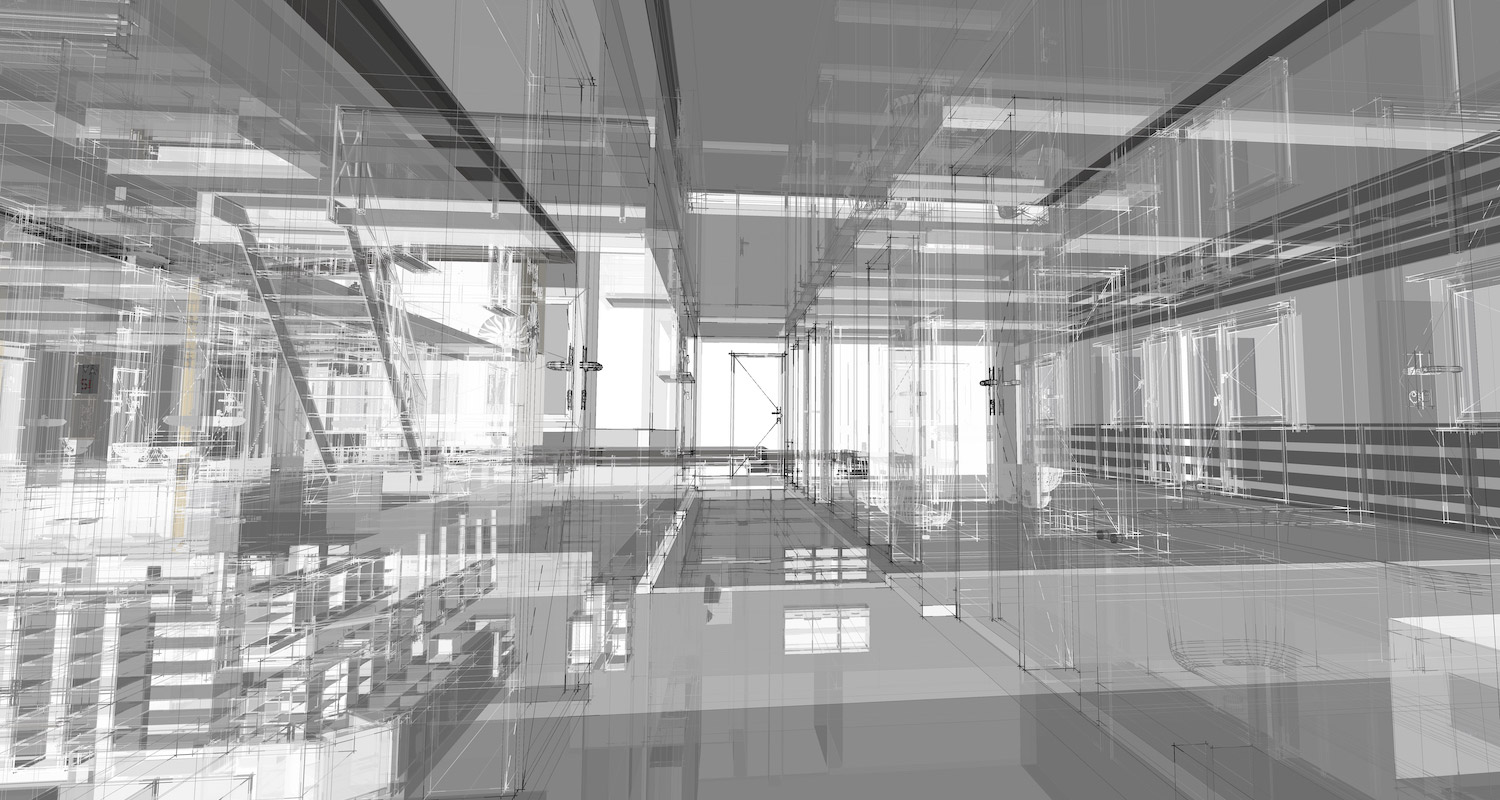
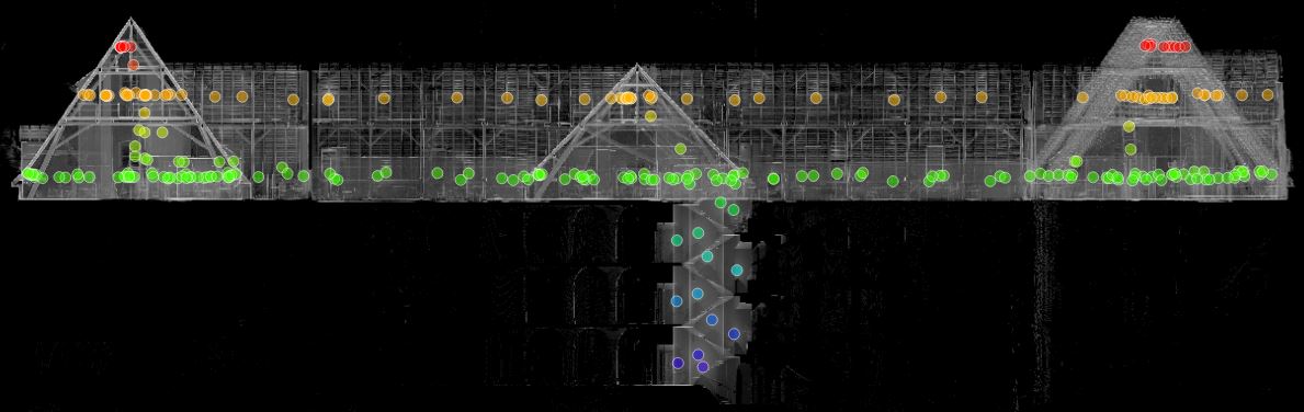
Control & Accuracy: Quality Over Speed
The verification of the processed point cloud is also done in Origins. Here, sections are created, and the point cloud is checked for duplicates, misalignments, or missing scans.
“Quality control is a fixed part of our workflow before the data goes into the drawings.”
Regarding accuracy, the Janka engineering office adheres to accuracy level 3 according to Eckstein—with a tolerance range of ±2 cm. Thanks to laser scanning and precise evaluation with Origins, this standard is not only met, but often exceeded.
“In 3D, we’re usually under 1 cm—which suits our requirements perfectly.”
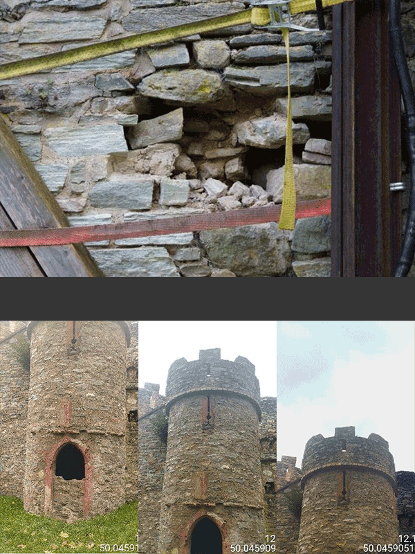
Hidden Damage in Sight: Visible and Plannable with the Delta Module
A widely used feature in numerous other projects at Janka Engineering is the Delta Module. It allows for quick and visual deformation analysis not only of floors but also of facades and historic walls.
“For us, the Delta Module is extremely important. You can immediately see: Aha, the facade leans outward or inward. That’s invaluable, especially for heritage projects or cemetery walls.”
The module is used to identify critical components or deformations even before modeling. This allows early assessment of potential issues during future insulation or renovation efforts.
Essential for Daily Operations: Origins at Engineering OFFICE Janka
Since 2014, the Janka engineering office has been working with PointCab Origins. Over the years, the software has evolved into the central platform for all scan-to-BIM processes within the company. While one or two licenses used to suffice, today every draftsman works with their own license. The workflows have been optimized over time—thanks in large part to the continuous development of the software.
“We’re now at seven licenses—and every single one is in constant use because there’s always something to extract.”
Origins is used not only for visualization but also for sharing plans, coordinates, and as an interface to programs like Archicad and BricsCAD.
COMING UP NEXT:
In Part 2 of the user story with the Janka engineering office, the focus shifts to the following topics:
- CAD Integration
- 3D Viewer
- New Perspectives with Nebula
- Outlook: New Features & Upcoming Projects
Want to keep up with the latest pointCab news?
Then follow us on Social Media or subcribe to our newsletter!