Laserscanning Architecture uses PointCab Origins in AutoCAD Architecture
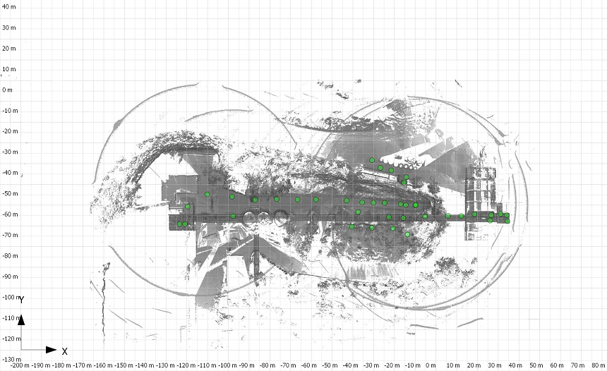
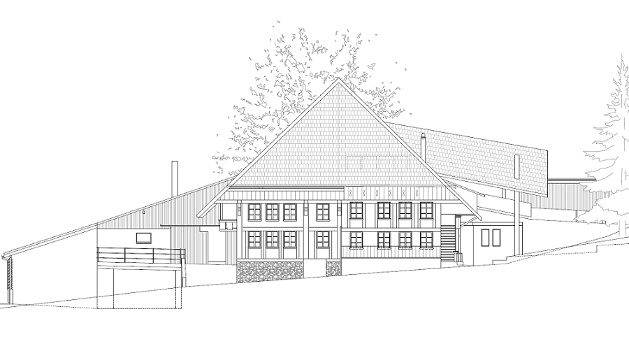
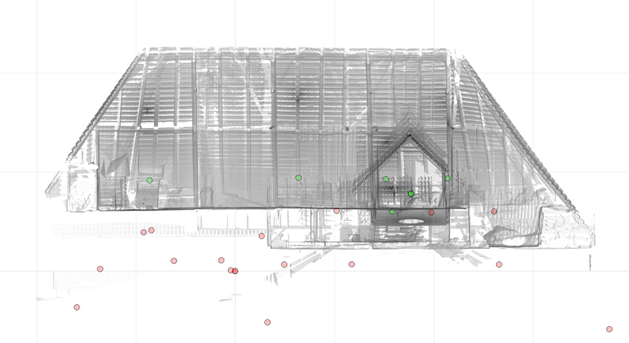
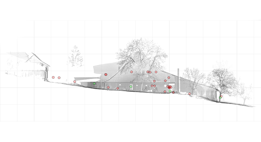
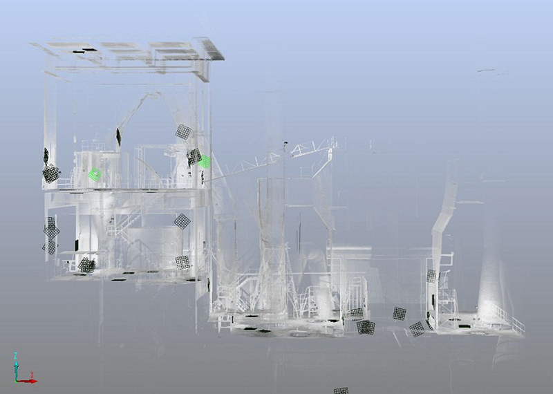
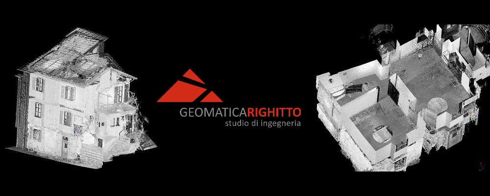
The company Laser Scanning Architecture used the FARO 3D laser scanner for the three-dimensional acquisition of a historic commercial hall. The 3D data created was evaluated using AutoCAD Architecture and PointCab Origins. The scan data was analyzed in both photo mode and pixel mode using FARO Scene software. In the model, analyses and geometric allowances were performed in colored panoramic views. Perspectives could be freely selected and partial areas of the model could be hidden as desired.
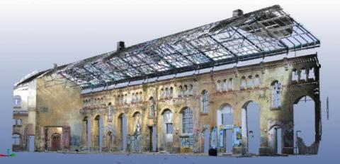
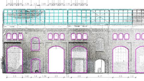

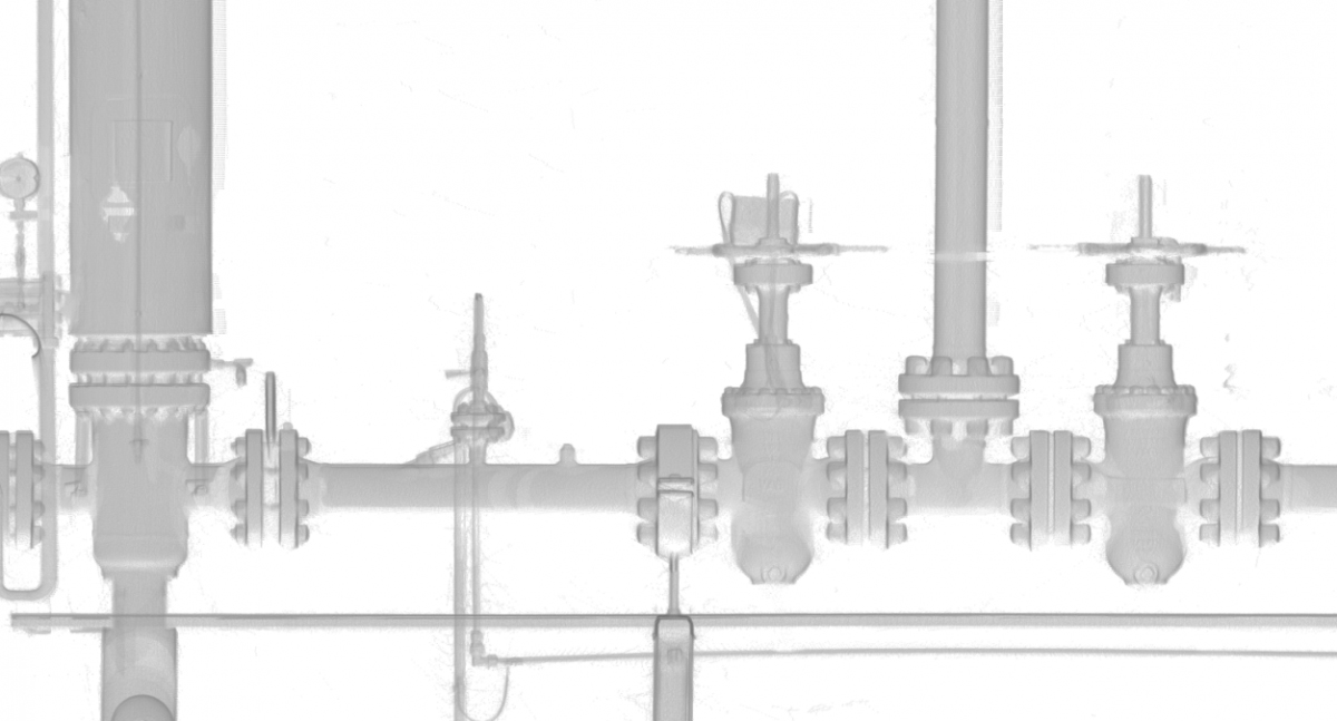
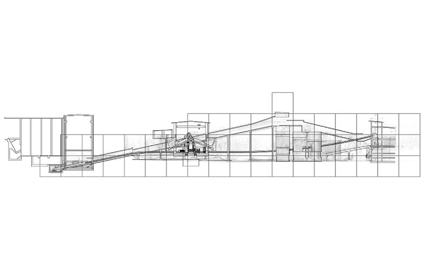
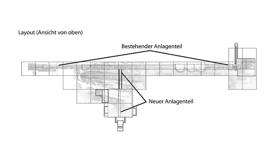
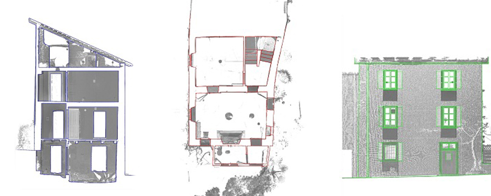
Using PointCab Origins, a 2D analysis was realized in AutoCAD Architecture. For this purpose, orthographic 2D views of the existing structure were created from any position in the model using PointCab Origins. This laid the foundation for efficient replanning. The advantages were: orthographic 2D images of the inventory, as well as freely selectable positions in the scan. The inventory could be quickly captured in detail (cornices, stone formats, etc.). The resulting highly accurate dimensioning, formed the basis for efficient redesign, including overdrawing of component edges. PointCab Origins results were used to create plans, elevations, sections and 3D BIM models. Images could be extracted from the point cloud. The client was able to quickly view and use the information thanks to the web export.
WHY POINTCAB ORIGINS?
Software Speed
Even the most extensive point cloud data can be evaluated easily and quickly with PointCab Origins.
Direct workflow to AutoCAD
The information of the evaluated point cloud data could be easily and quickly transferred to AutoCAD.
Proximity to support
PointCab’s support is characterized by comprehensive expertise and individual attention.
About Laser Scanning Architecture
During this time, we have learned many times that a thorough survey of the existing building is always the basis for a successful remodeling project. The precise laser scanning therefore offers the perfect basis for all projects of building in existing contexts. https://www.laser-scanning-architecture.com