USER STORY
From Monument to Point Cloud: How a Historic Building Becomes a 3D Model (Part 2)

From Point to Drawing: How the Scan Comes to Life in the CAD Model
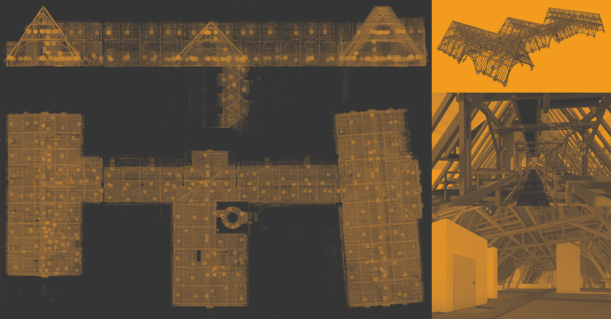
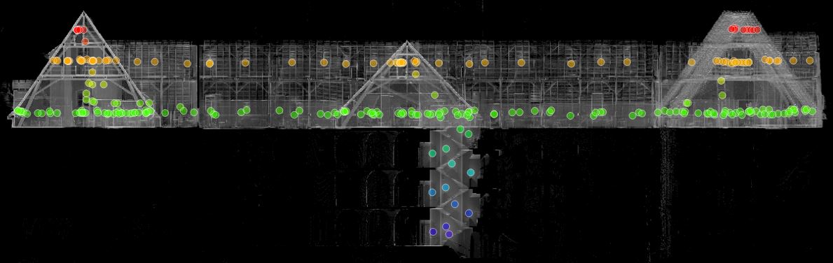
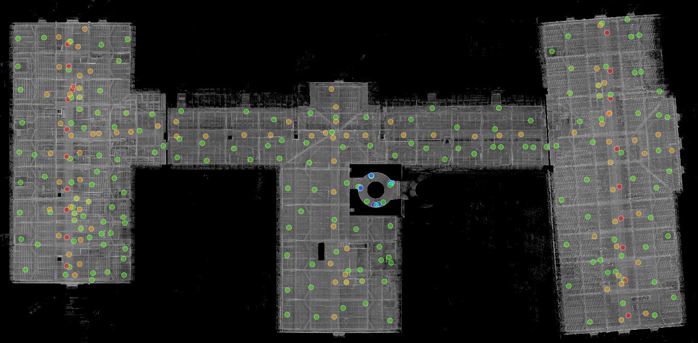
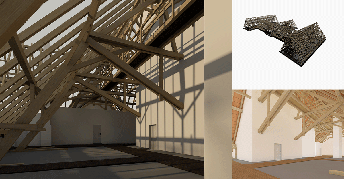
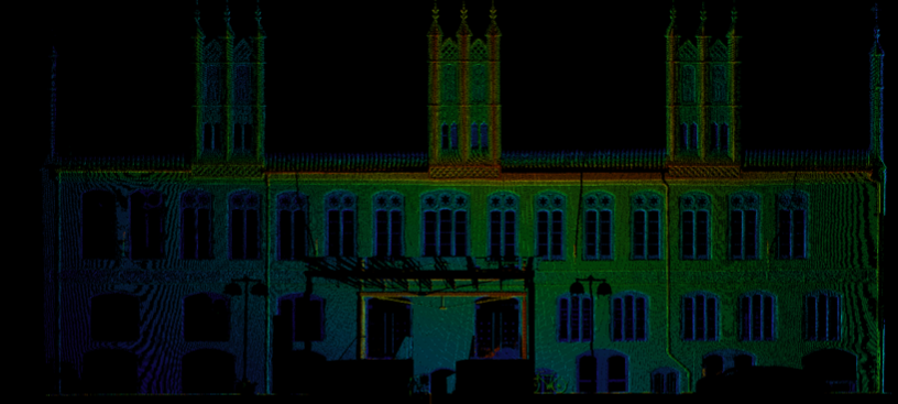
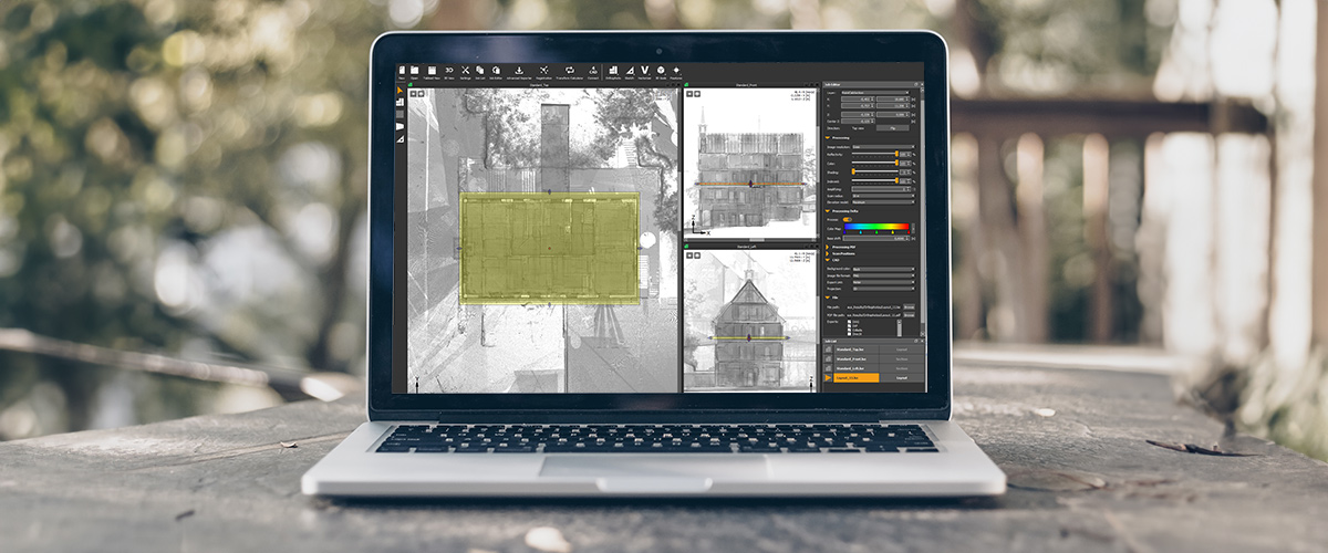
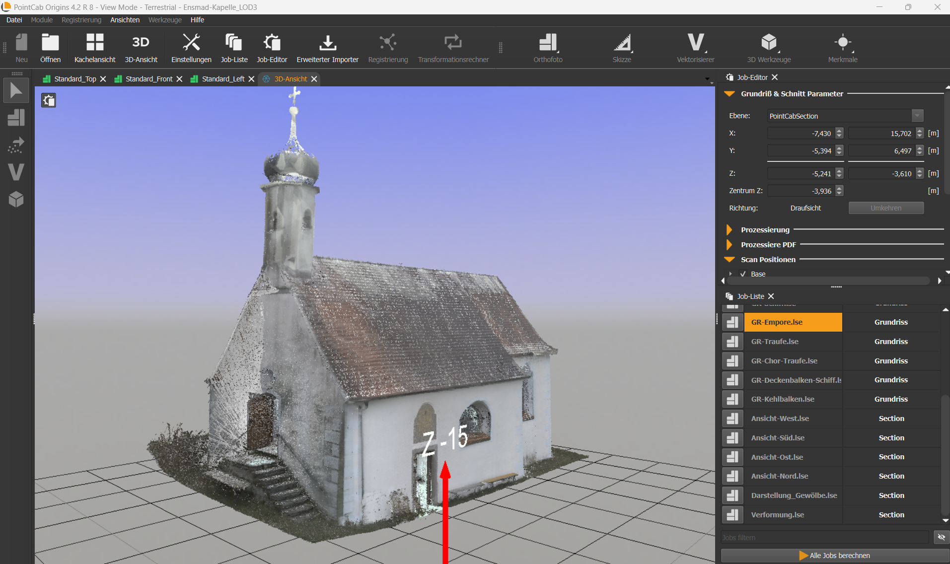
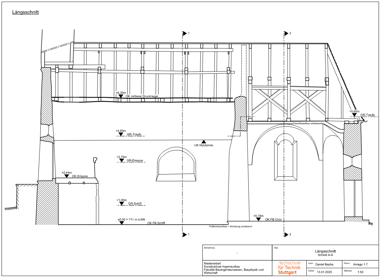
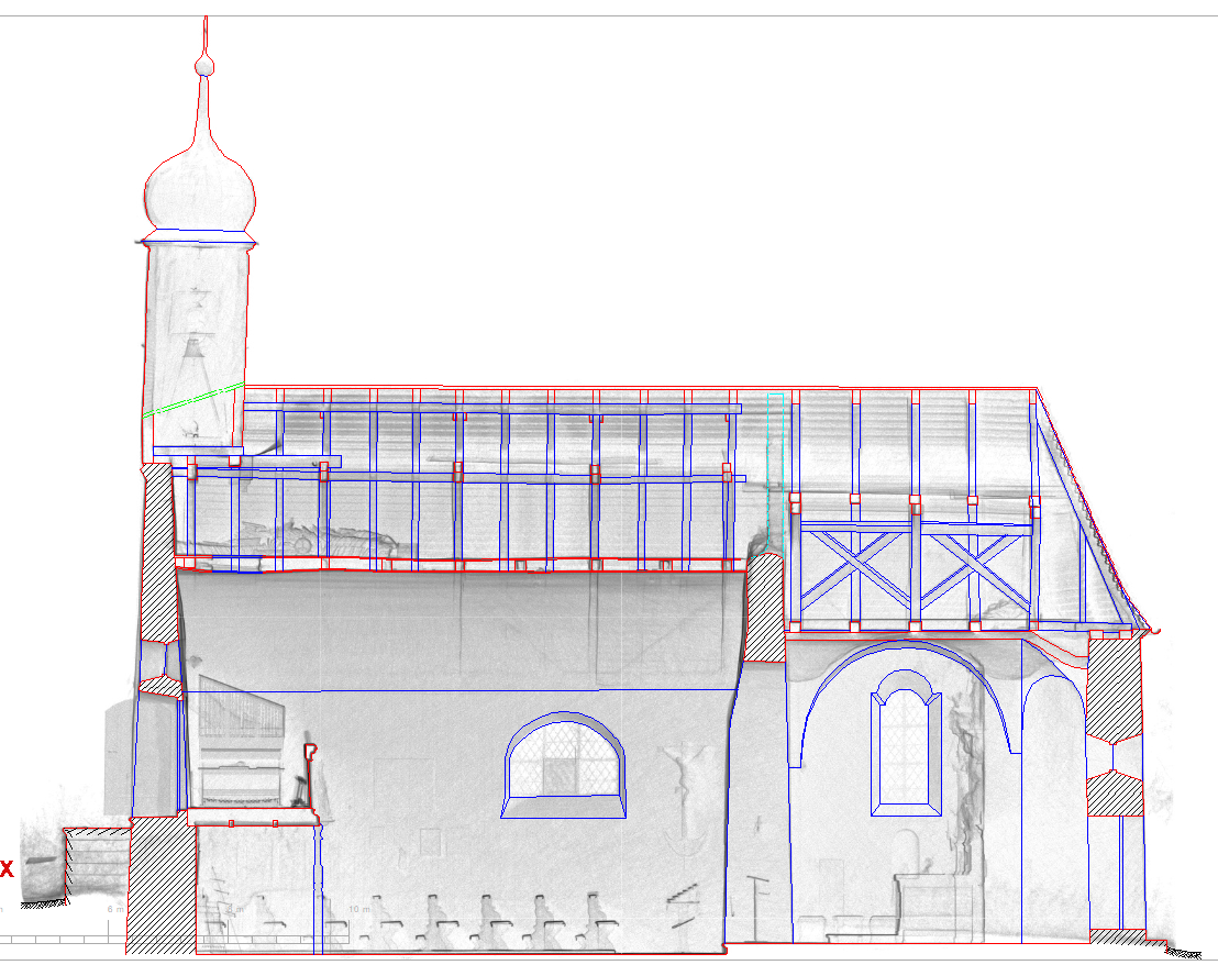
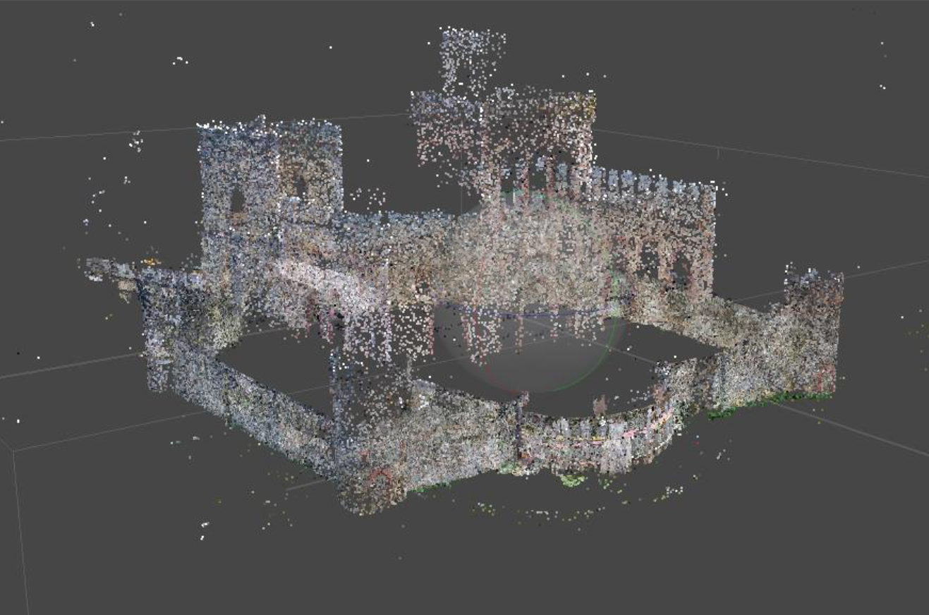
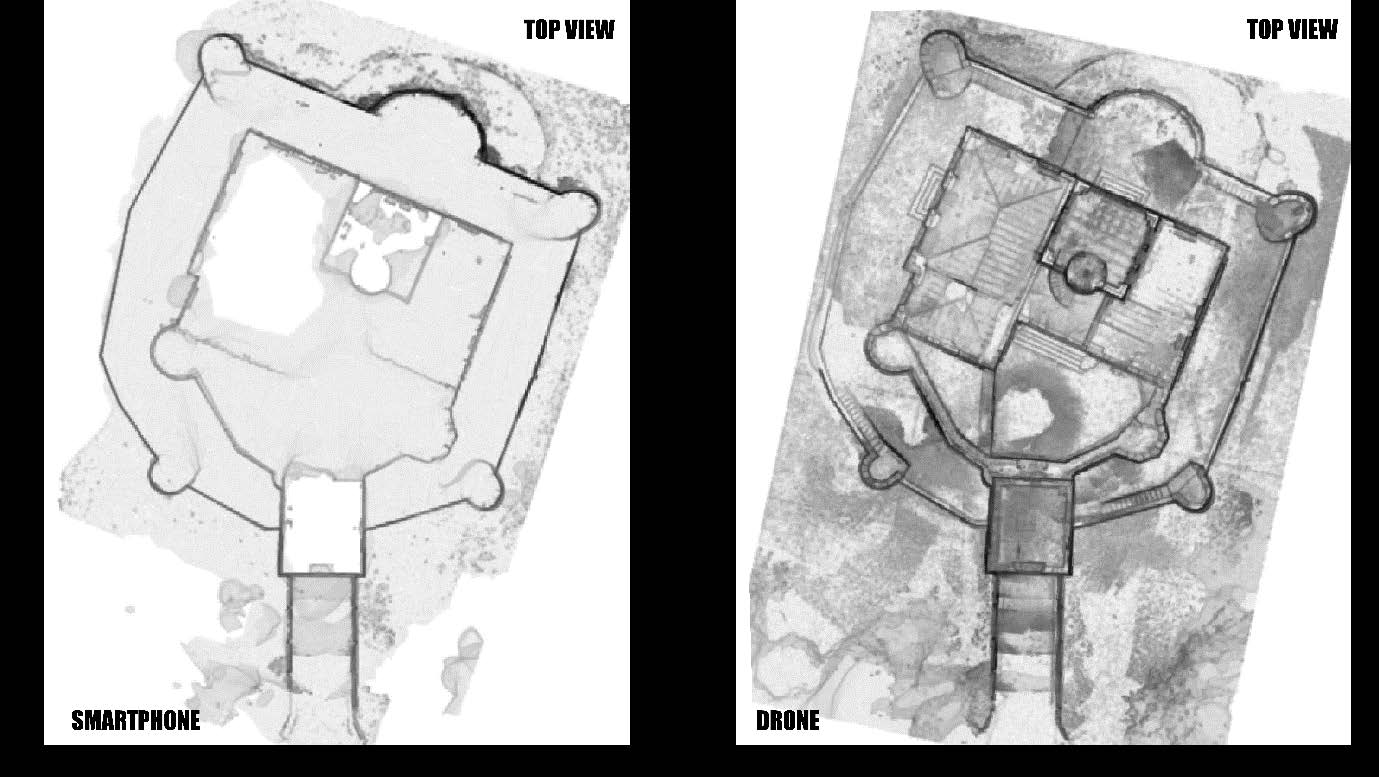
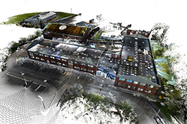
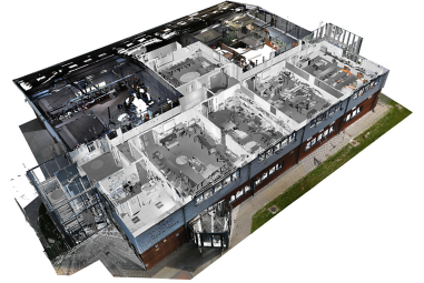
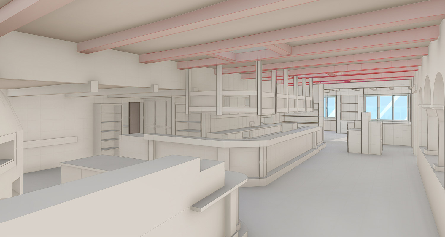
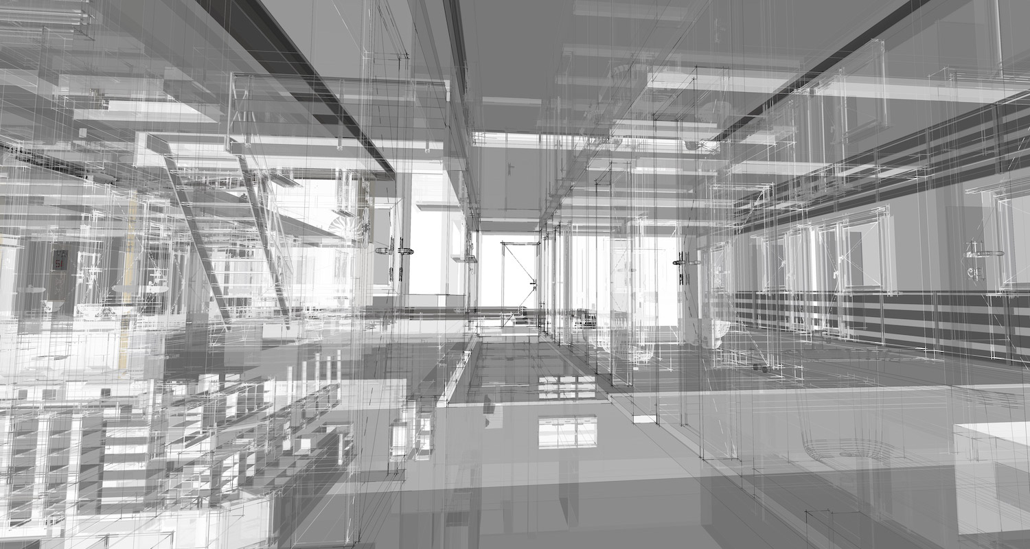
After the point cloud had been cleaned, aligned, and verified in PointCab Origins, Janka Engineering moved on to modeling the roof structure in Archicad and BricsCAD. Although the PointCab plugins weren’t yet used in this particular project, the team followed a well-structured workflow: they extracted precise sections and points from Origins, then manually modeled beams, trusses, and walls in CAD – always guided by panoramic views and the geometric accuracy of the point cloud.
Even twisted or non-orthogonal timber members were modeled with care, thanks to the exact coordinate picking tools in Origins.
“You can only draw what you can trust, so our models start with reliable sections from PointCab.”
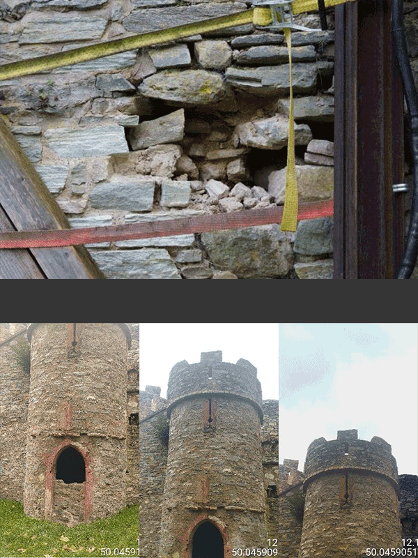
Accuracy in Focus: From Standards to Sub-Centimeter Precision
Though the process was manual, the results were impressively precise. While Janka generally works to a ±2 cm tolerance common in historic documentation, this project often achieved sub-centimeter accuracy, especially in horizontal sections exported at a 5 mm resolution from Origins.
The final 3D model wasn’t just for documentation – it could be used directly by structural engineers. Thanks to its clean geometry, it was imported into statics software, where beams were recognized as real elements for snow load analysis and simulation. The ability to go from scan to simulation without relying on 2D interpretation made this workflow especially powerful.
Plugins in Use: A Smoother Workflow for Future Projects
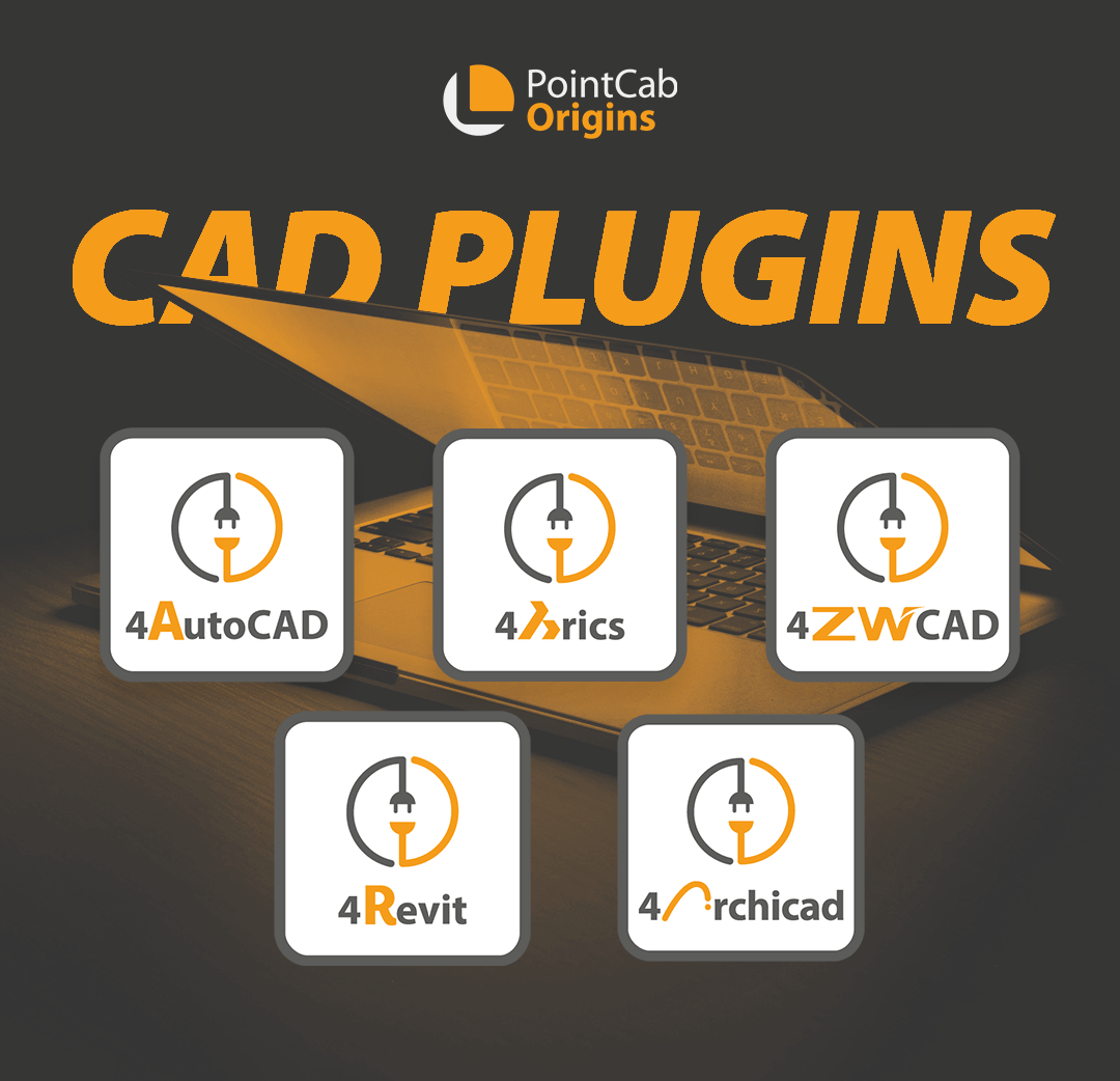
Although the modeling for this particular project was completed without plugins, Janka Engineering has since integrated the PointCab plugins for Archicad and BricsCAD into their workflow – with great success.
“In the past, we created the model without a plugin. With the plugins, the modeling work is significantly easier. That’s great.”
Mr. Janka emphasizes that the plugins have made the workflow more efficient, especially when it comes to precisely transferring points for beams, rafters, and other components directly from the point cloud. What was once a manual process is now supported by smart automation, saving time and reducing the margin for error.
“Just Click, No Install”: Why Intuitive Viewers Are in High Demand
Despite all the enthusiasm, Mr. Janka expressed one specific criticism in the interview: the current viewer solution at that time, PointCab Share, was too technical for many clients. Especially in public or heritage projects, there’s often a multi-year gap between data capture and construction. What clients want is a tool they can use independently and long-term – without needing to log in, install anything, or worry about expiring cloud access.
Janka Engineering still uses Faro’s older Webshare-to-go solution for this reason: a browser-based viewer that runs locally.
Exploring Nebula: A Viewer That Closes the Gap?
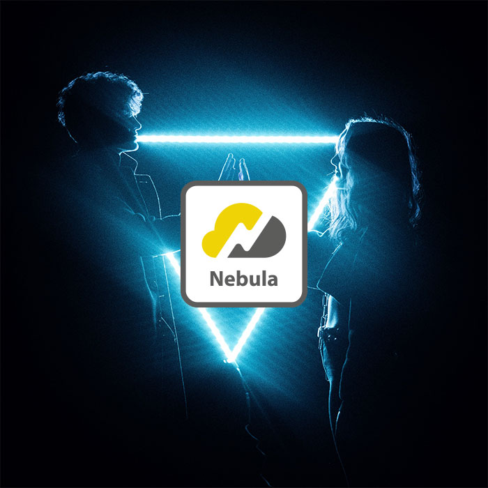
While not a direct replacement for a fully offline viewer, PointCab Nebula addresses many modern sharing challenges. It enables project viewing directly in the browser—without needing to install software – and offers more hosting flexibility than typical cloud platforms. Data can be shared via local servers, private clouds (e.g., Nextcloud), or third-party services like Google Drive.
Nebula offers:
- Simple, browser-based navigation through panoramic views
- Sharing of sub-projects, sections, and views via link
- Flexible hosting options (local or external)
- Full compatibility with Origins projects
“I’d definitely take a look at it […] maybe it’s exactly the kind of development we’re looking for.”
Nebula is, therefore, definitely a step toward more client-friendly sharing and a signal that PointCab is listening and evolving in the right direction.
Conclusion: Best Practice with a Clear Perspective for Improvement
Just like in Part 1, this second part underscores how PointCab Origins supports both technical accuracy and practical usability, while also showing there’s still room to grow.
The user story of Engineering Office Janka clearly shows how PointCab Origins functions as a central hub in the scan-to-BIM workflow – from capture to structuring and validation to CAD evaluation. At the same time, it also reveals areas with potential for improvement. This blend of praise and constructive criticism is what makes the project so valuable, not only for other users but also for the ongoing development of the software itself.
“I think the first thing that gets opened in our office—right after the digital time clock—is Origins. It runs all day long.”
Want to keep up with the latest pointCab news?
Then follow us on Social Media or subcribe to our newsletter!