Origins 4.2 R16 – More Control, Fewer Clicks
- Freddie
- May 14, 2025
- 09:46

The new Origins 4.2R16 update brings practical improvements
that noticeably simplify everyday point cloud workflows.
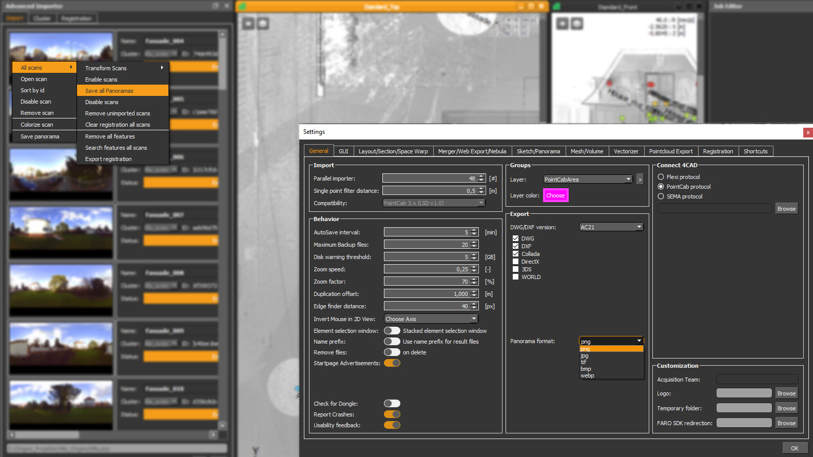
EXTENDED DATA FORMATS - IMPORT/EXPORT
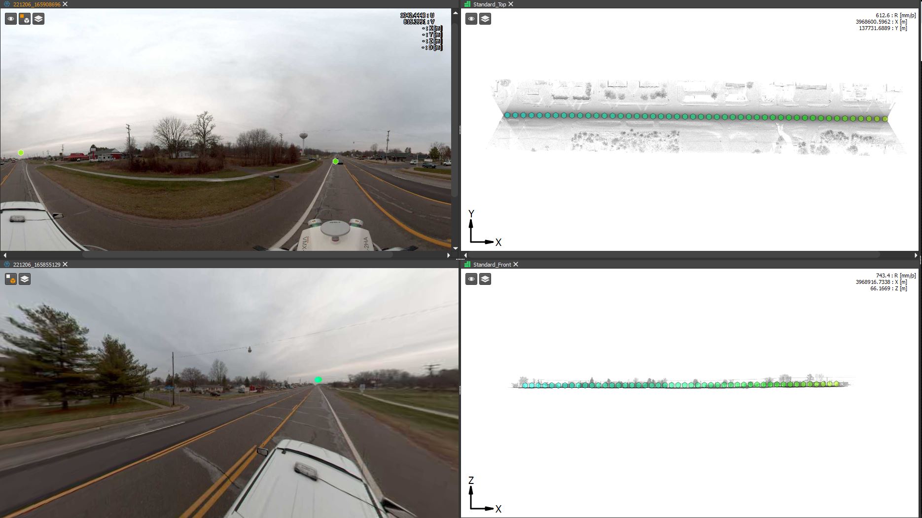
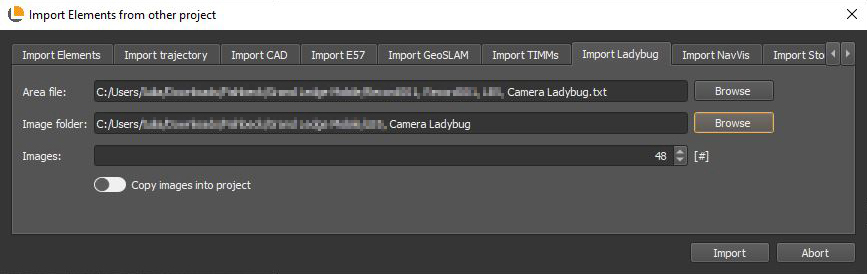
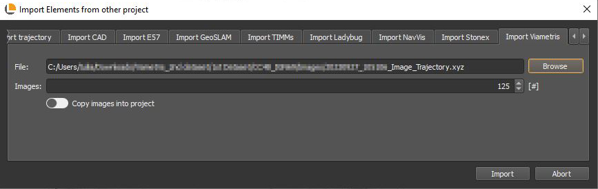
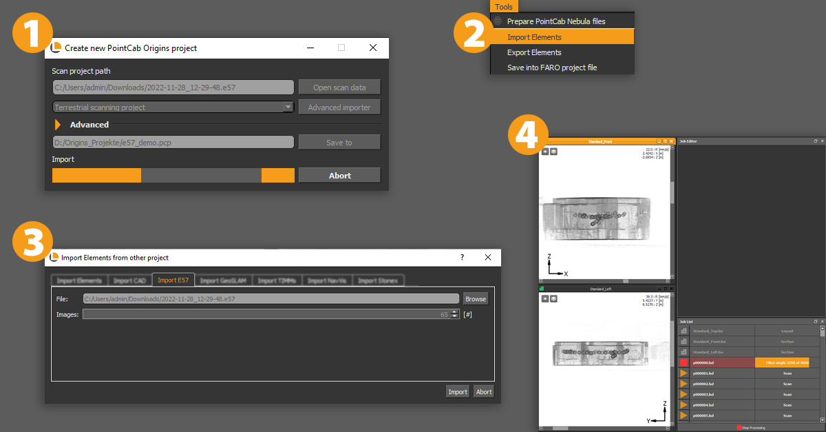
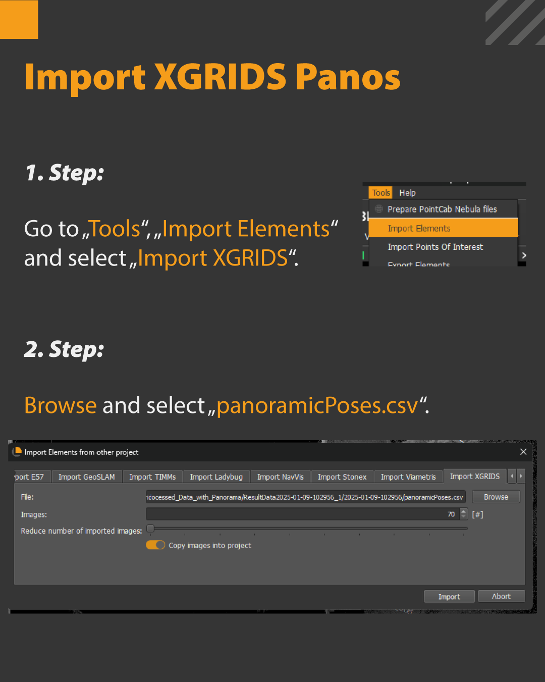
Import XGRIDS Panos – for a Structured Overview
What it’s for?
If you’re working with externally generated panoramic data, importing XGRIDS Panos is now easier than ever.
How it’s done:
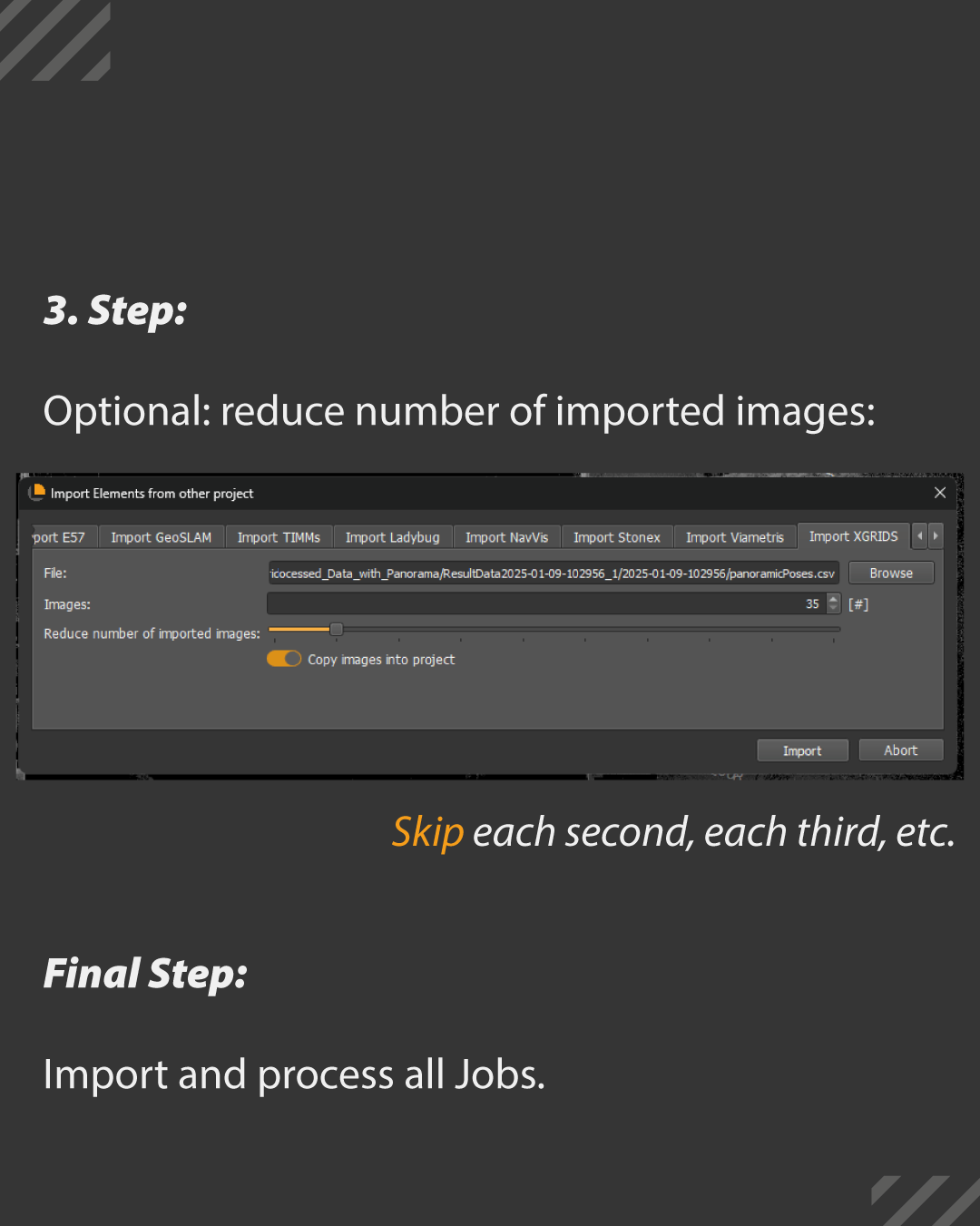
Just go to “Tools > Import Elements > Import XGRIDS” and select the panoramicPoses.csv. Origins will read the data and create matching panoramas.
Bonus: A handy slider lets you skip images during import – for example, every second or third – which saves space and keeps things tidy.
Option to copy the images into project -> images will be copied under the PointCab Project Structure for easy sharing
Active by default: The option to copy images to the project. This integrates the images into the PointCab project, which is ideal when sharing the project with others.
Perfect for large datasets or multi-location projects.
NEW FUNCTIONS
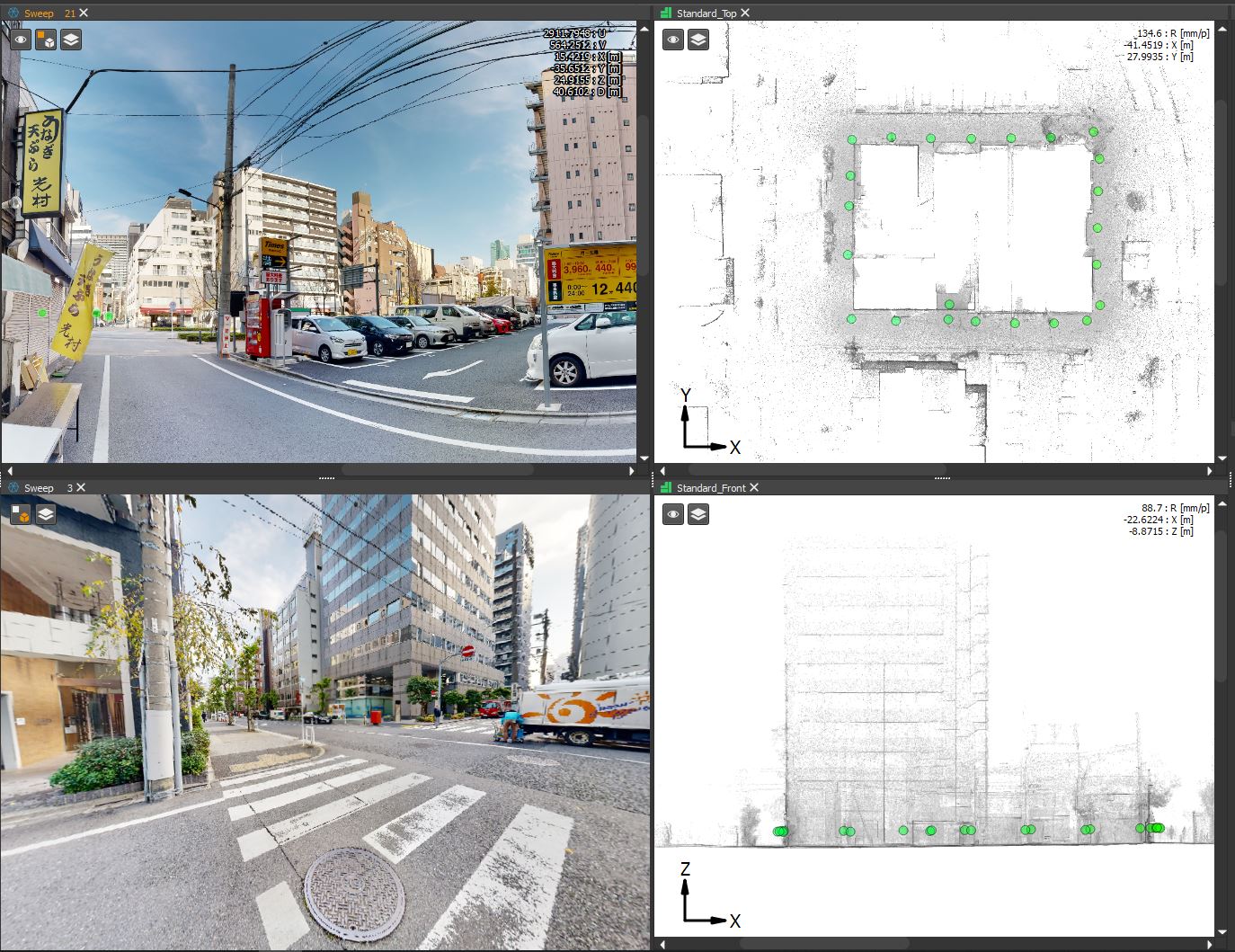
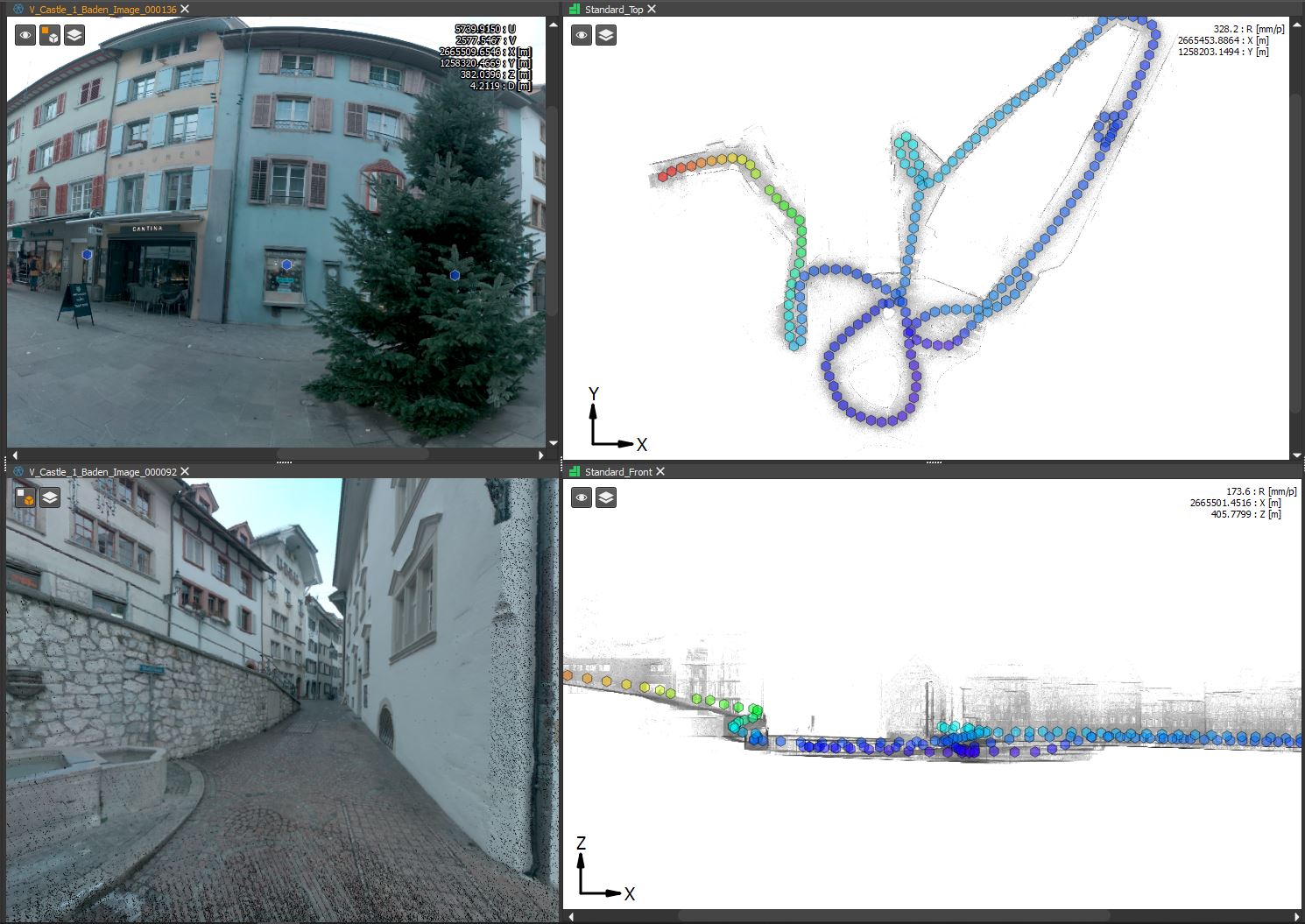
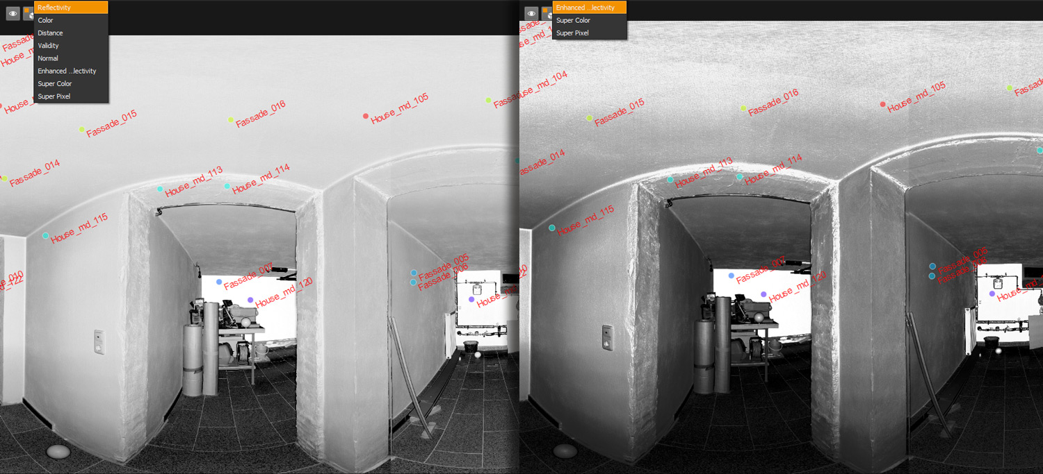
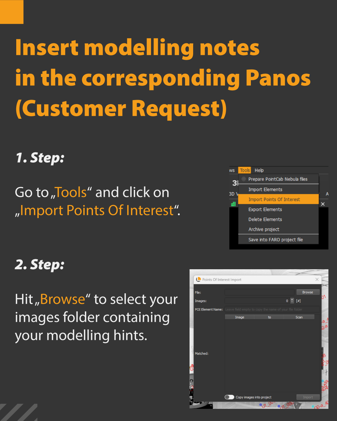
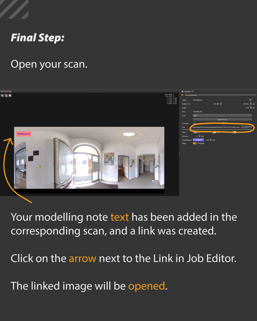
Modeling Notes in Panos – visual, linked, efficient
What it’s for?
Modeling notes can now be displayed directly inside panoramas – no detours needed.
How it’s done:
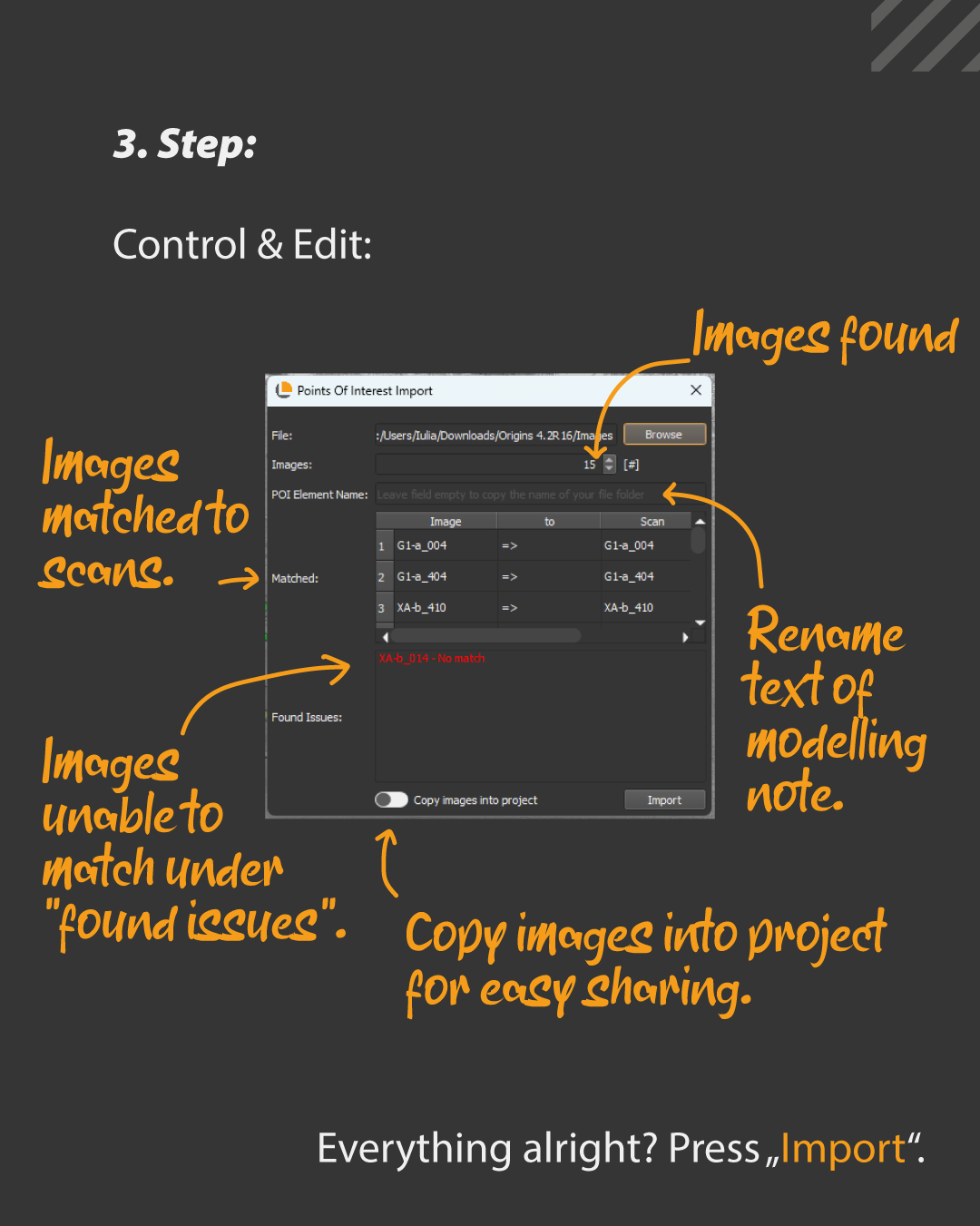
Under “Tools > Import Points of Interest”, simply select the folder containing your prepared images with modeling notes. Origins automatically matches the images to the correct scans (as long as the filenames match the scan names). Any images that couldn’t be matched will show up under “Issues.”
There’s also an option to rename all note texts being added:
Under “POI Element Name,” enter a name to apply it to all texts. Leave it blank, and Origins will use the name of the image subfolder instead.
After importing, each text note – along with a clickable image link – will appear in the corresponding scan. The link can be opened directly in the Job Editor, so the matching image is just one click away. Plus, the images can optionally be copied into the project folder for easier sharing.
Ideal for those working with comments, review feedback, or detailed modeling guidance.
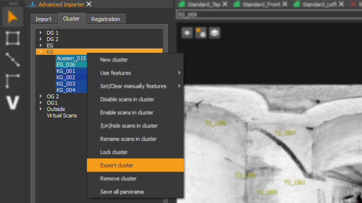
Clean Up with Structure: Delete Elements by Type
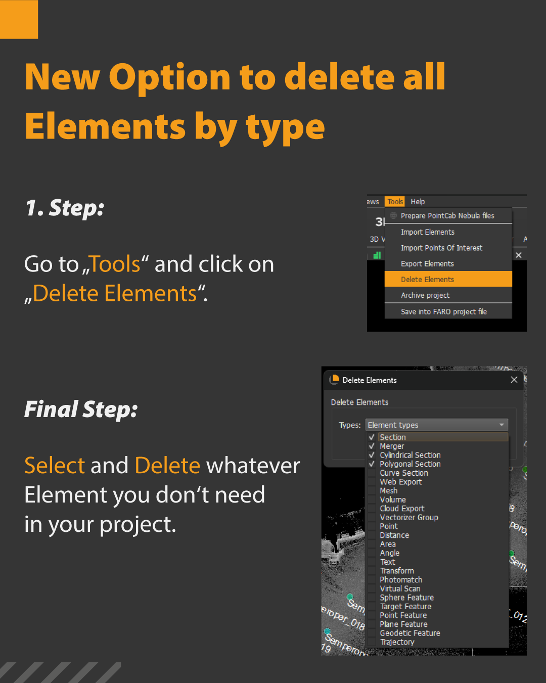
What it’s for?
The longer a project runs, the more clutter builds up – old measurements, outdated sections, irrelevant objects.
How it’s done:
With a simple fix:
Under “Tools > Delete Elements,” just select the type of elements you want to remove and delete them all at once. No more tedious clicking through.
One click – and the project is clean and organized again.
GENERAL IMPROVEMENTS
- Fix setting line color
- Fix delete all 3D Points
- Fix scrolling behaviour
- Fix export units for circles/ellipses
- Fix SpaceWarp Tooltip
- Fix Topocon panorama display
- Fix reflectivity display for FARO Orbis Flash scans
- Fix Z+F SDK
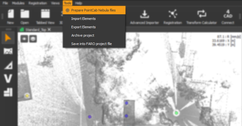
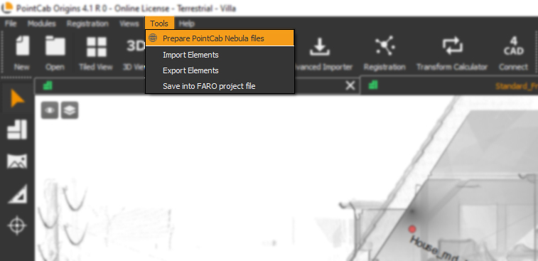
- Fix Prepare Nebula Files