With the passing of our beloved CEO and Co-Founder, Dr. Richard Steffen, PointCab has lost not only an exceptional leader but also a dear friend.
Yet even in the face of this loss, Richard made sure that the company he built with so much passion would continue to thrive.
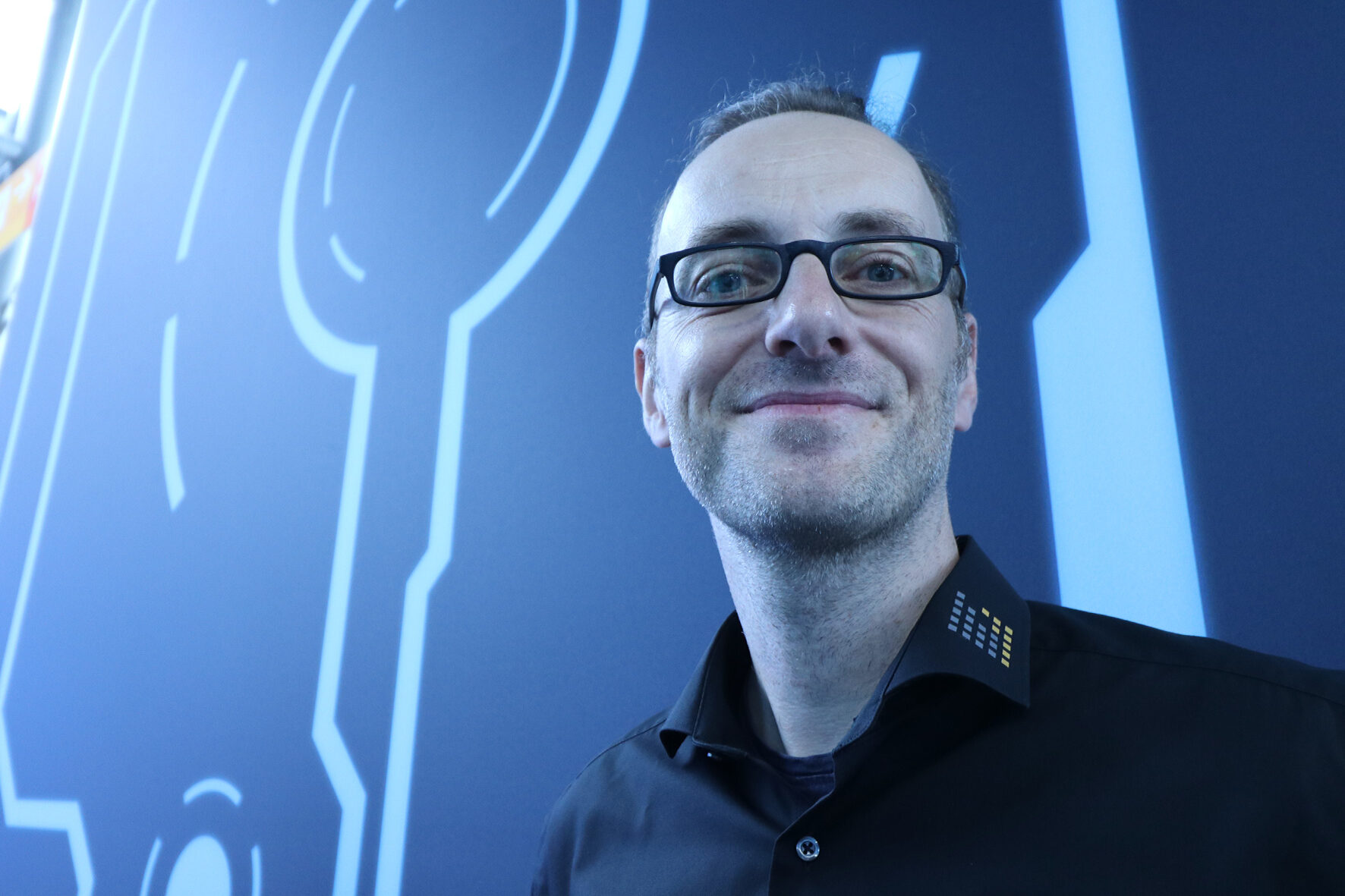
It was his wish that Eric Bergholz take over the role of CEO and lead PointCab into the future.

Eric is closely connected to PointCab’s story. As CEO of Laserscanning Europe, our sister company, he was directly involved in the creation of the very first version of PointCab Origins. He also provides extensive experience and a deep understanding of the laser scanning market.
He has accompanied our journey since day one, watched our team grow, and worked side by side with Richard on strategies and innovations.
More than a business partner, he was one of Richard’s best friends – and someone Richard trusted deeply to continue his legacy.
Eric knows our roots, shares our values, and understands our mission.
Together with our leadership team – Chris (COO), Martin (CTO), and Nicole (CMO) – he will ensure that PointCab continues on its path of innovation, reliability, and customer focus.
Over the past years, Richard gradually handed over responsibilities to this leadership team, allowing them to gain experience and successfully guide the company’s day-to-day operations.
This transition has already proven itself in practice: projects moved forward, the software evolved, and our partnerships grew stronger.
Now, with Eric taking on the role of CEO, PointCab builds on both this continuity and his unique perspective as someone who has been part of our journey from the very beginning.
That is why we can look to the future with confidence:
PointCab stands on solid ground, with a clear strategy, a capable leadership team, and a CEO who knows the company inside and out.
As we begin this new chapter, we warmly welcome Eric into our team as our new CEO.
We are confident that, with his leadership, PointCab will continue to develop pioneering solutions, expand its global presence, and remain the trusted partner you know us to be.
Want to keep up with the latest pointCab news?
Then follow us on Social Media or subcribe to our newsletter!