Where does laser scanning come from? Who invented it?
How has laser scanning been used over the past decades up to today?
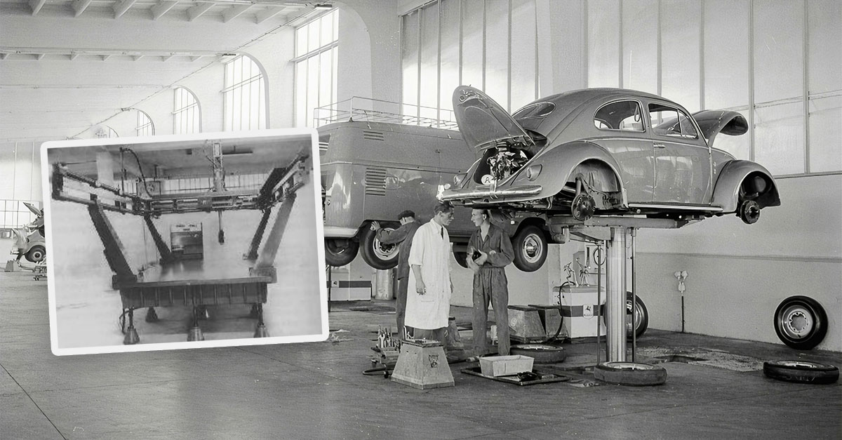
Our series “The origins of laser scanning” gets to the bottom of these questions and provides answers about this fascinating technology, which by now is hardly imaginable to live without in our everyday lives.
Technological maturity from 2005 onwards

From the mid-2000s, scanners with integrated compensators came onto the market. These automatically balanced inclinations and significantly increased measurement accuracy. Pioneers included manufacturers such as Leica Geosystems and Trimble.
From specialized device to standard tool
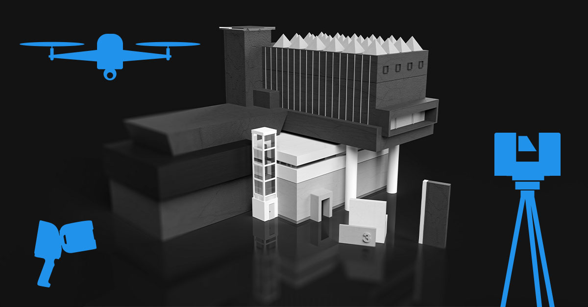
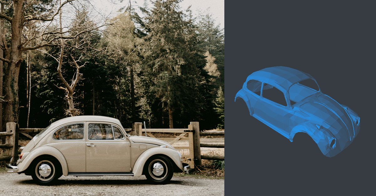
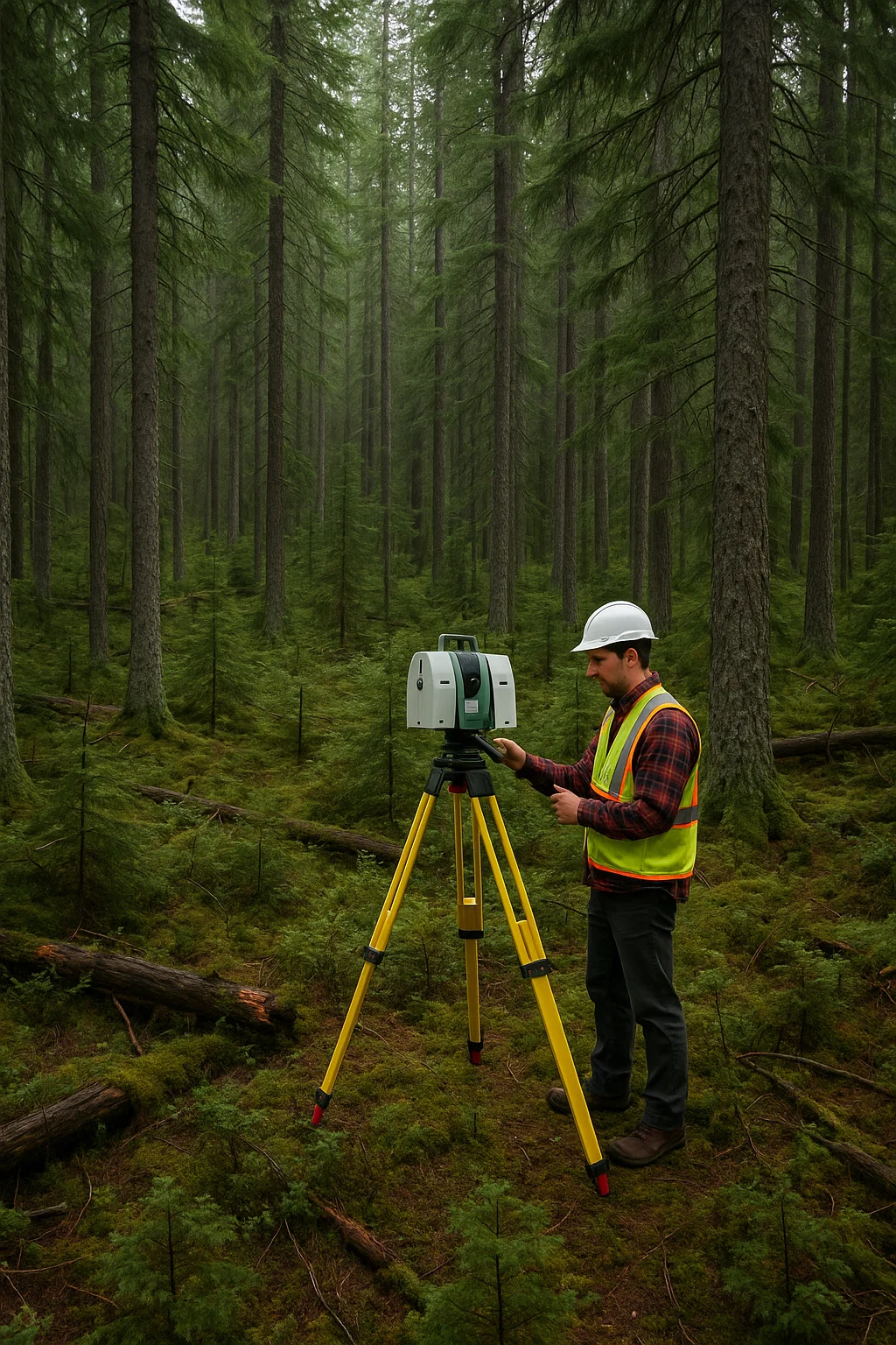
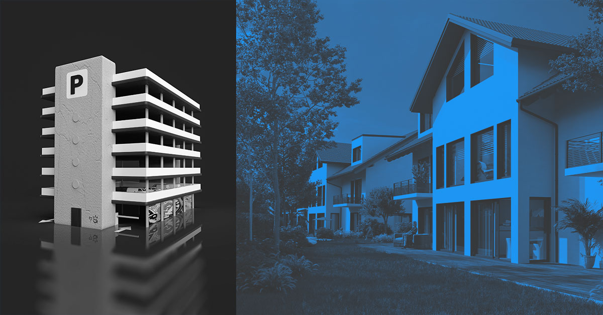
Today, 3D laser scanning is an integral part of construction, industrial applications, and heritage conservation. With stationary, mobile, or drone-based systems, buildings, facilities, and entire cities can be captured in three dimensions.
BIM and digital workflows
The captured point clouds flow directly into CAD and BIM systems. AI-based processes often take over automatic model generation and analysis. This saves time and reduces errors.
BIM – Building Information Modeling
BIM is a working method in which all relevant building data is digitally recorded, combined, and networked. Laser scanning provides the precise geometry data that forms the basis for digital planning.
Diverse applications
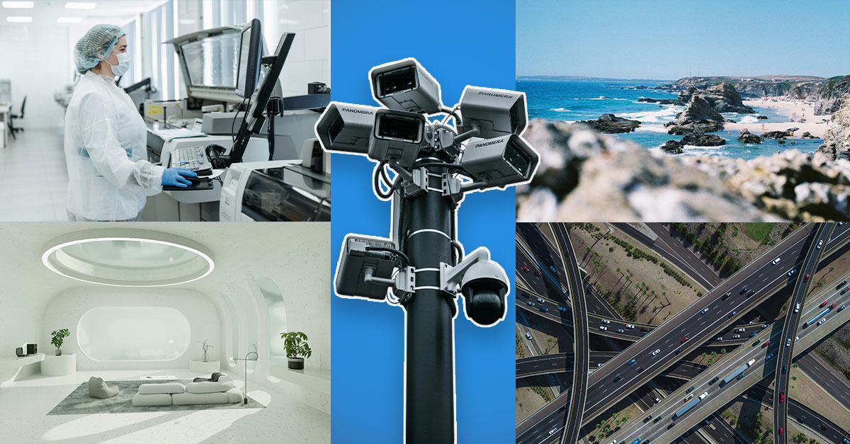
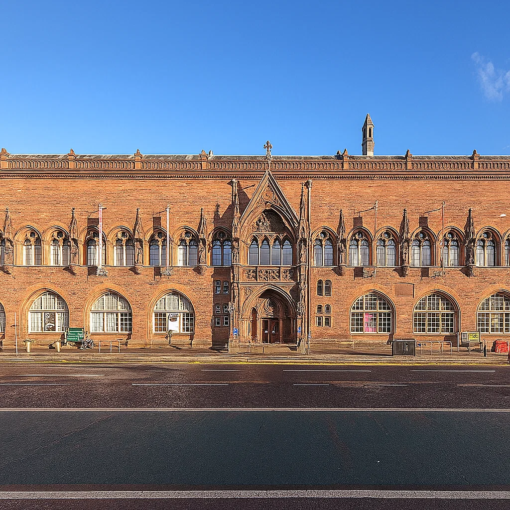
- Architecture & as-built documentation
- Reverse engineering & quality assurance
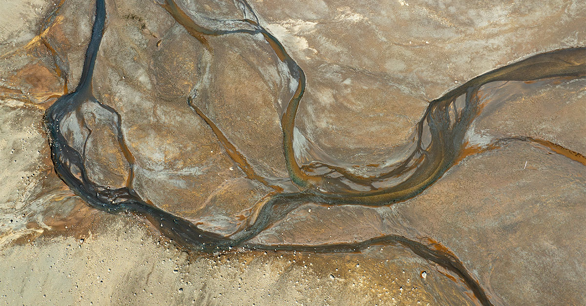
- Environmental and climate research
(e.g., glacier observation, coastal changes) - Security and surveillance technology
- Traffic and urban planning
Software as the key
Raw data alone has no added value – only with specialized software such as PointCab Origins can millions of points be turned into understandable, usable results. The software is compatible with all common CAD and BIM systems and translates complex data into tangible information.
Did you know…?
… modern LiDAR systems today can capture up to 2 million measurement points per second – and detect details such as individual leaves on a tree or cables in an industrial facility?
That was the last part of our series.
Curious for more? We regularly publish articles on our blog. Stay tuned!
Want to keep up with the latest pointCab news?
Then follow us on Social Media or subcribe to our newsletter!