New release – pointcab 4archicad plugin 2.0
- Freddie
- July 18, 2024
- 10:04

Discover all new functions in the latest release of our point cloud plugin 4Archicad!
Due to our constant development and the inspiring feedback from our Archicad users, our new 4Archicad plugin brings
a bunch of new functionalities and enhancements.
Check out what’s new below:
NEW FUNCTIONS
Vectorizer Transfer: Automatically create Walls & more from Vector Lines
What it’s for?
Simply create Vector Lines in PointCab Origins and effortlessly transfer them to Archicad via the PointCab 4Archicad Plugin. With the vector lines you can then automatically create Walls and more.
How it’s done:
Follow the steps in our video tutorial.
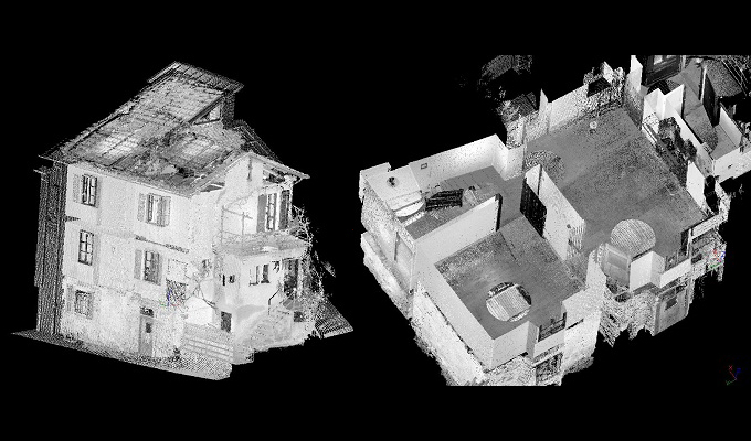
Create Mesh
What it’s for?
Create a mesh in Archicad by using 3D Points in PointCab Origins.
How it’s done:
Follow the steps in our video tutorial.
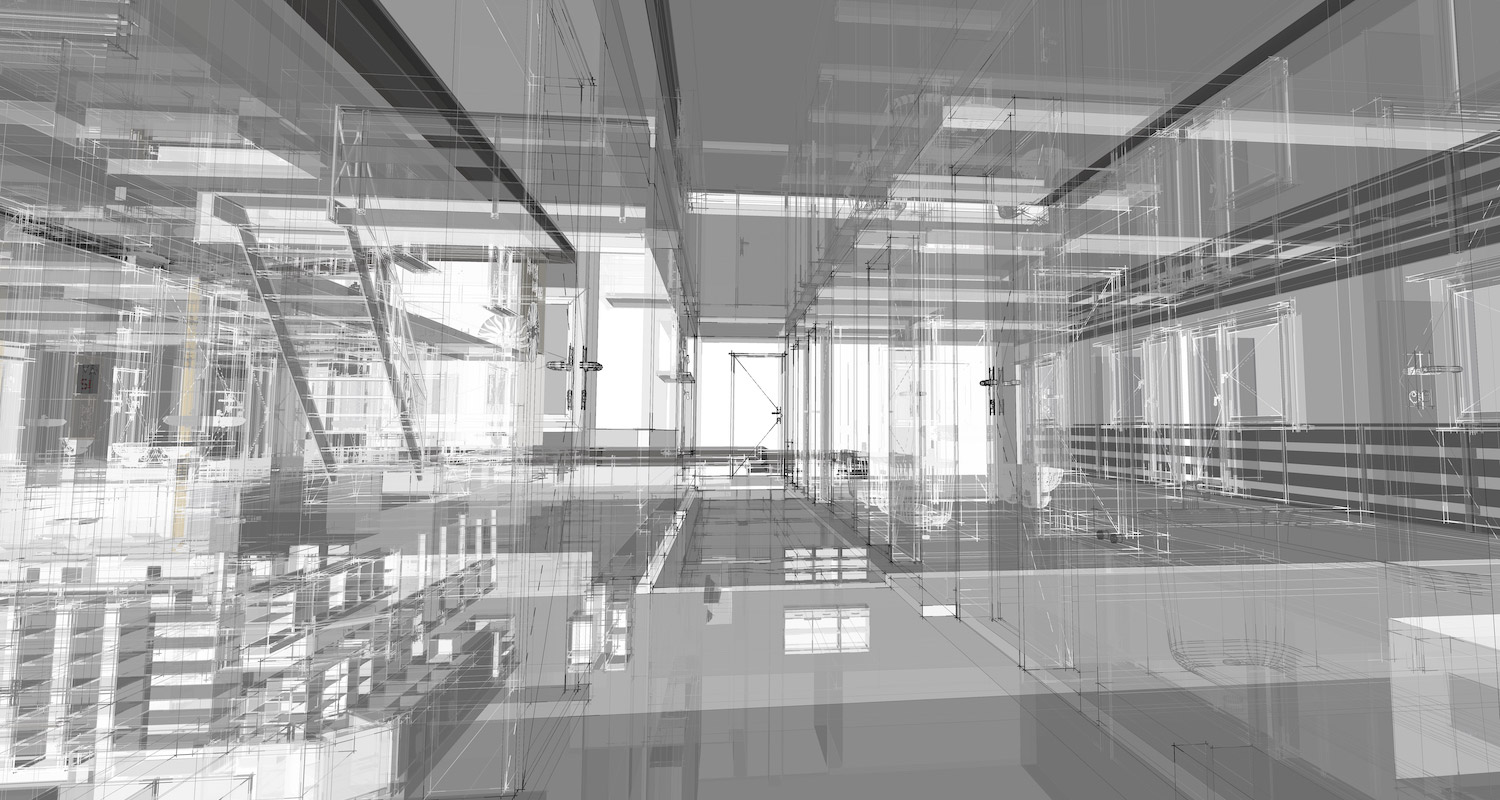
Point Cloud Transfer
What it’s for?
Transfer your unstructured E57 point clouds with ease to Archicad.
How it’s done:
Follow the steps in our video tutorial.
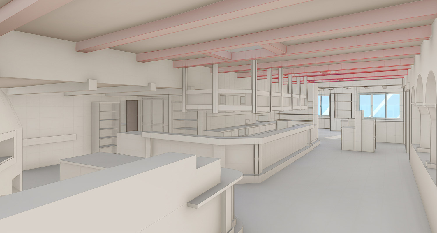
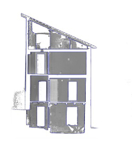
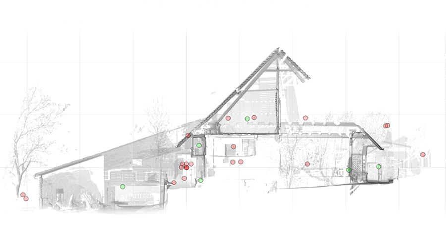
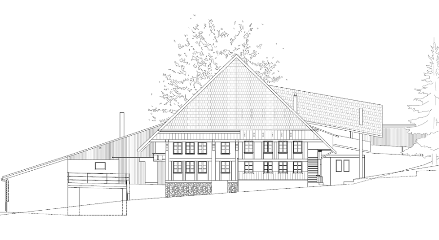
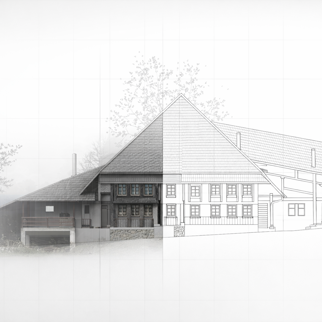
Import of Section as interior elevation

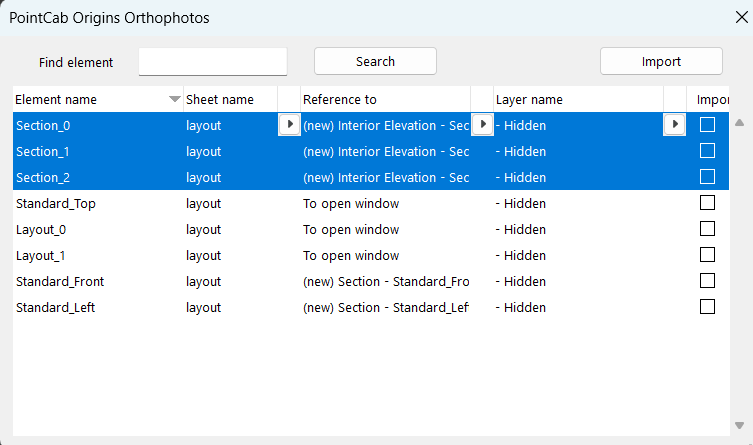
Click to enlarge the picture
What it’s for?
“Reference to” function for now with interior elevation!
Use it to create an interior elevation instead of a section or elevation.
General Improvements
- Improved Settings window
- Improved palette windows
- Settings Option to set layer for Orthophoto pictures
Compatibility
- Compatible with Archicad versions 23, 24, 25, 26 and 27