


Point in Case
How to Work with Georeferenced Point Clouds in Archicad
Real-world support cases explained – one point cloud at a time.
In this series, we take a closer look at real questions and challenges that come up when working with point cloud data. Each post is based on an actual support case and breaks down what happened, why it happened, and how to solve it, step by step.
But we don’t stop at troubleshooting. Along the way, we explain the background behind the tools, terms, and technologies involved.
The Questions that sparked this Post
A user asked us a great question:
Is there a way to reverse the transformation applied to a project in Origins, especially if I want to maintain georeferencing for modeling in Archicad?
She mentioned seeing a “trick” referenced in one of our webinars, but couldn’t find it again. Since this topic comes up regularly – especially with BIM workflows – here’s a detailed guide for anyone modeling in Archicad with georeferenced point clouds.
What Is Georeferencing – And Why It Matters in Archicad
Before diving straight into our solution, a little background info on georeferencing might be in order:
Georeferencing is the process of aligning spatial data (like point clouds) with real-world geographic coordinates, such as UTM or Gauß-Krüger systems. When a point cloud is georeferenced, every data point corresponds to a precise location on Earth. This is critical in AEC workflows for aligning scan data with GIS, survey data, or construction site coordinates.
In theory, this georeferenced data should integrate seamlessly into CAD or BIM software. But in practice, large coordinate values (often in the millions) can break things.
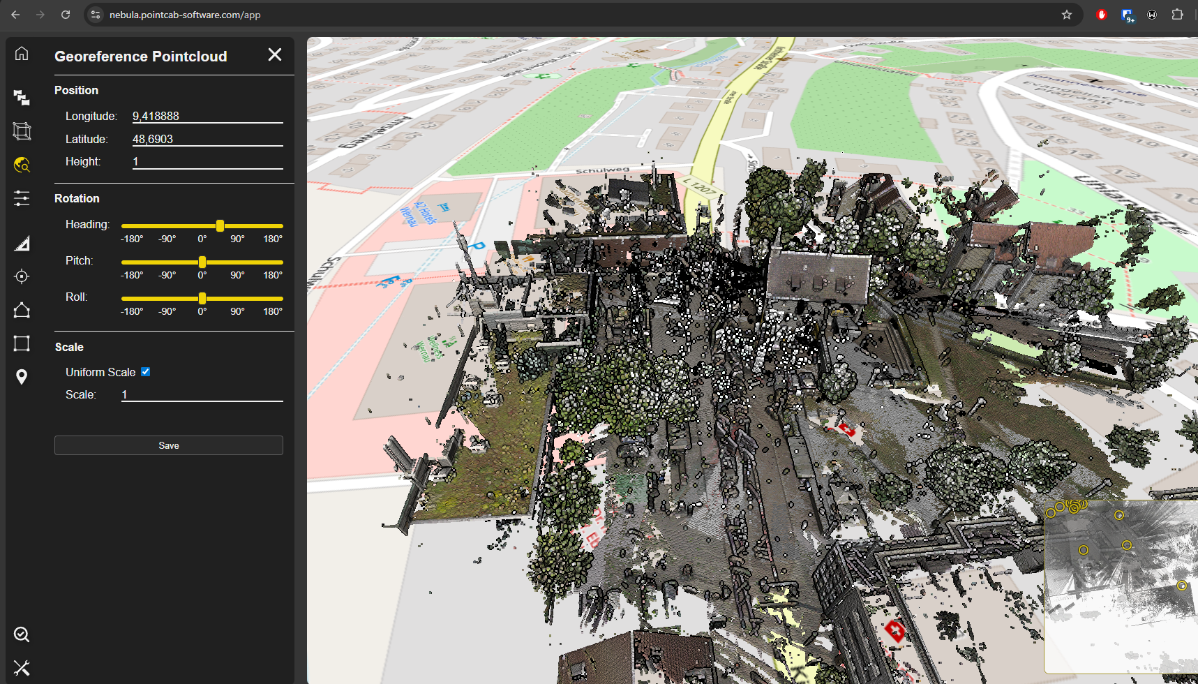
The Challenge: Large Coordinates vs. Modeling Performance

Point clouds in georeferenced coordinate systems often contain large values far from the origin (0,0,0). CAD tools like Archicad and Revit don’t handle these large coordinates gracefully. This can lead to:
- Laggy or unresponsive modeling
- Display glitches
- Broken geometry or snapping issues
- Inaccurate scaling or alignment
So how do you preserve georeferencing and maintain smooth modeling in Archicad?
The "Trick": Temporary Translation Instead of Permanent Transformation
Here’s how to maintain georeferencing while still working in a performant local coordinate system:
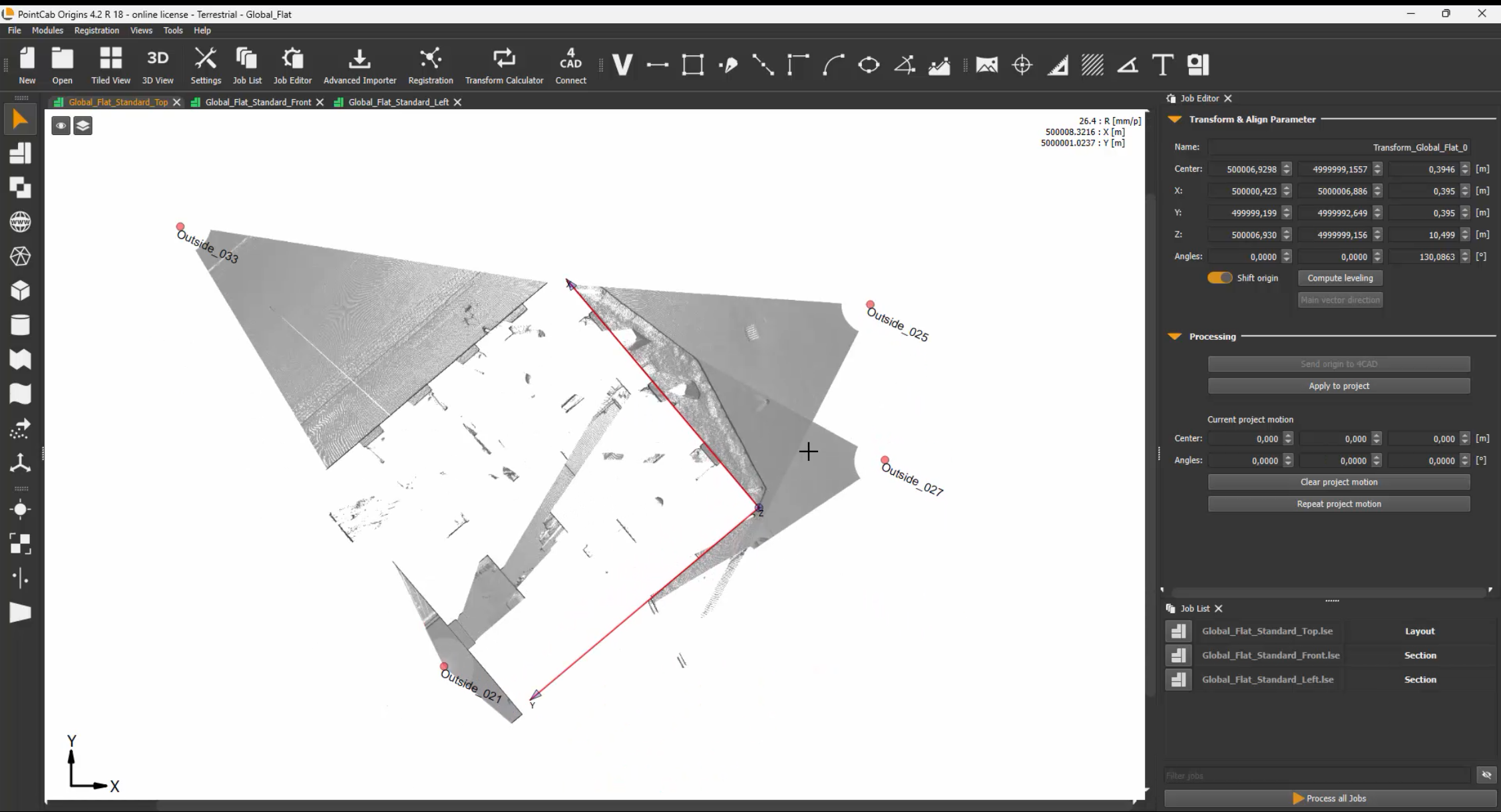
1. Avoid Full Alignment with Rotation
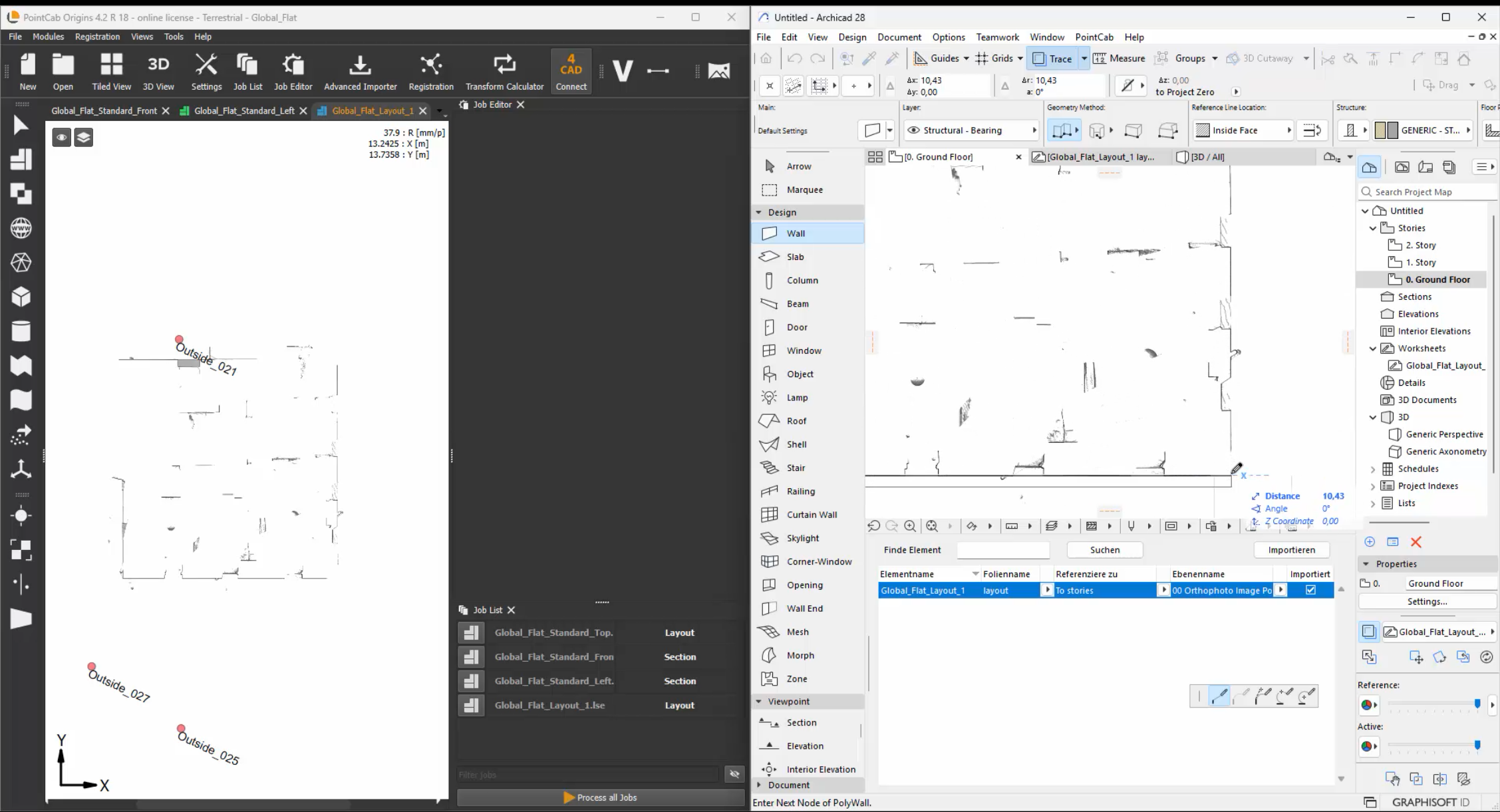
When transforming your project in Origins, don’t use full rotation/alignment unless absolutely necessary. Instead, use the Align Tool to apply a translation – a shift in position and rotation around the Z-axis. The rotations around the X and Y axes should be avoided. Enter these parameters as the Survey Point in Archicad.
Pro tip: Use round, memorable shift values.
Example: If the original X coordinate is 3,500,357.000, shift it to 0 or another clean number to simplify your local modeling.
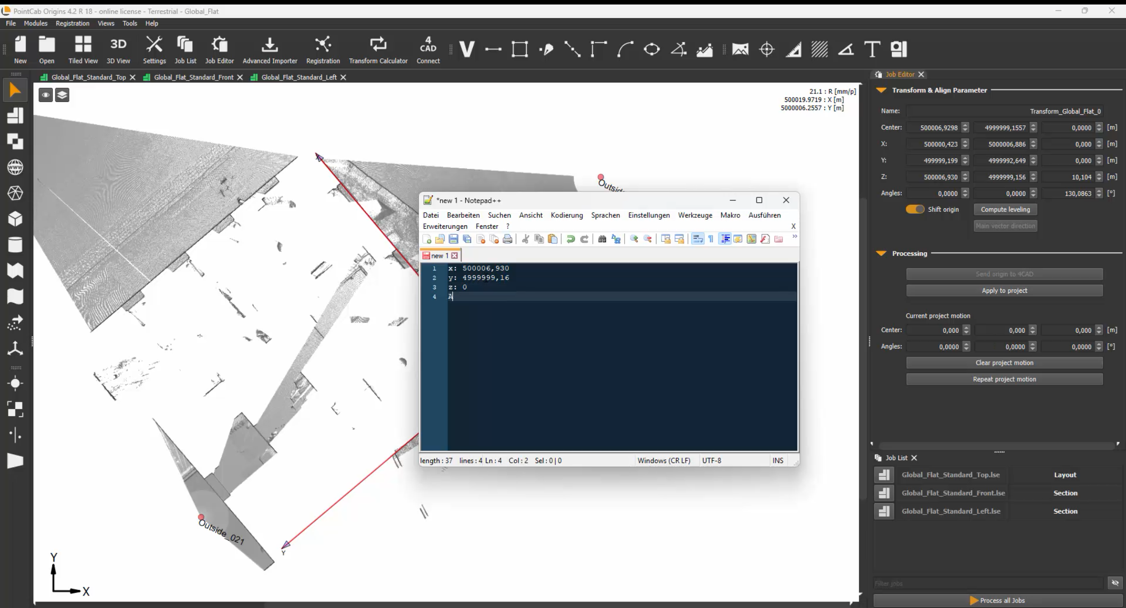
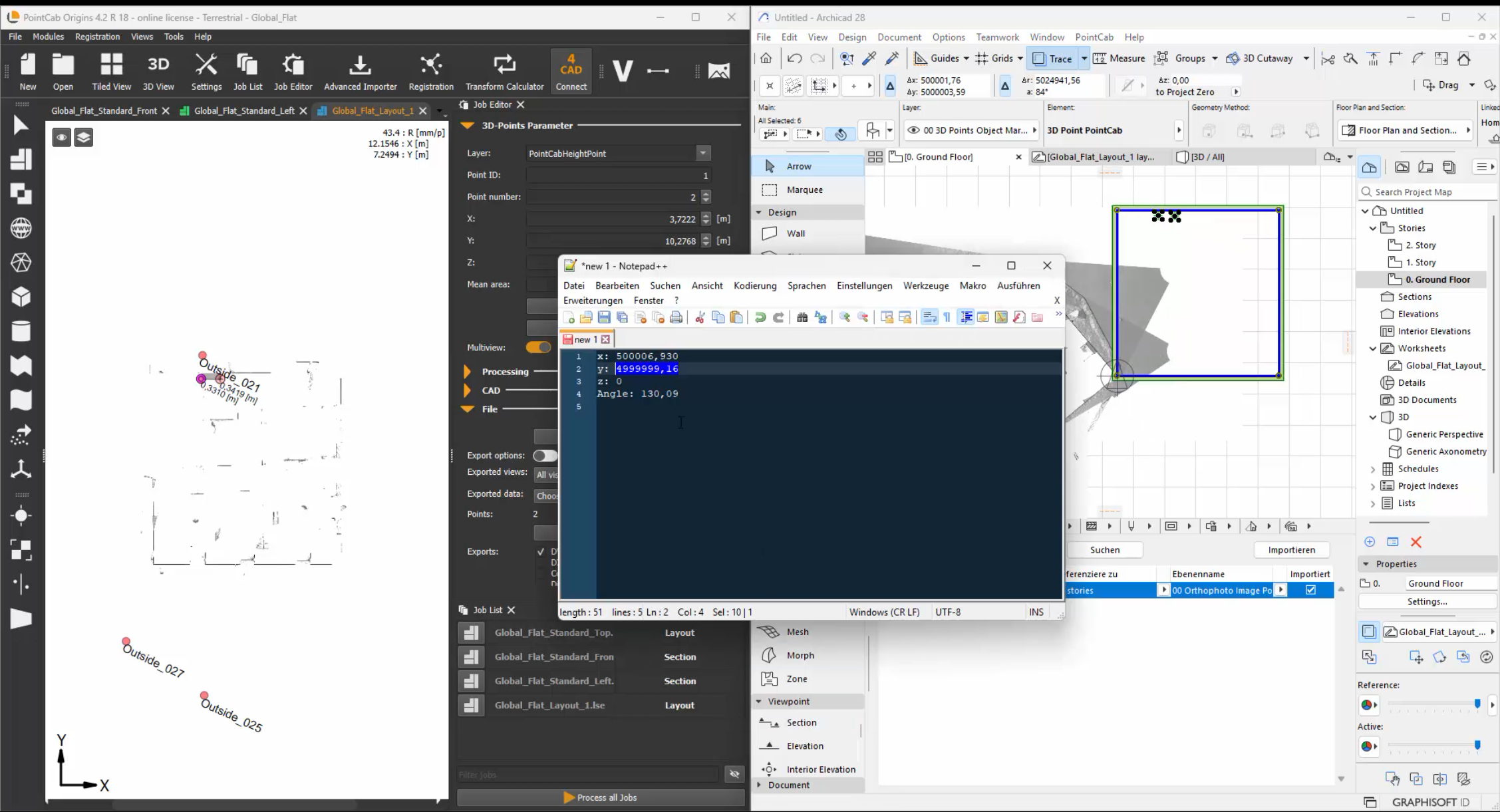
2. Document the Shift
PointCab Origins automatically stores transformation values in the Align Protocol. Take a screenshot or note the exact shift values, so you can later reverse the transformation. These values will be crucial when re-georeferencing the model.
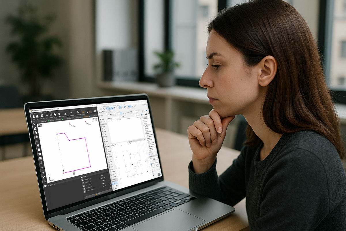
3. Model in Archicad Locally
Now that your point cloud is positioned near the origin, you can safely and efficiently model in Archicad. Performance improves, and modeling tools behave as expected – without distortion caused by large coordinates.
4. Re-Apply Georeferencing for Export
After modeling, reverse the initial translation.
This brings your model back to its true georeferenced location, ensuring your IFC, DWG, or BCF exports are correctly aligned in the real world
Bonus Tip: Forgot Your Transformation Settings?
No worries. Origins allows you to:
- Create an Align transformation but not apply it right away. This shows you what changes would be made — which you can then reverse.
- Alternatively, applying the same transformation twice can sometimes restore the original state (especially for pure translations).

Want to keep up with the latest pointCab news?
Then follow us on Social Media or subcribe to our newsletter!

